
Page 34: of Maritime Reporter Magazine (March 2000)
Read this page in Pdf, Flash or Html5 edition of March 2000 Maritime Reporter Magazine
 33
33
 35
35
Marine Electronics
Smooth Sailing
Electronic update service for digital charts equals a radical new service in the United States • Va _ • 4 •#«*
The entire suite of 1,000 official
NOAA nautical charts has been avail- able in digital raster form since 1995.
These high quality, full color, geo-refer- enced images of NOAA's paper charts are made for use in computer-based nav- igation systems and work with GPS or other electronic positioning systems.
They are produced jointly by NOAA and Maptech, Inc. under a cooperative research and development agreement (CRADA).
Mariners quickly adopted raster nauti- cal charts. Their rapid adoption was aided by first-rate navigation software available from many companies at an affordable price. Today, the raster charts outsell NOAA's paper charts by eight to five. Each CD-ROM, containing about 55 charts, has grown to include the
Coast Pilot, marine facilities, indexing and viewing software, and other facili- ties - all at no additional cost.
The final capability needed for raster charts is a practical means of applying the Notice to Mariners corrections that are issued weekly. With a reliable, offi- cially approved update service, raster charts will be suitable for professional use and will meet the international stan- dards for Electronic Chart Display and
Information Systems (ECDIS).
Updating the Charts
NOAA compiles nautical charts with computer-assisted cartographic tools.
The resulting digital files are used to make both paper and raster charts. His- torically, new information was saved until about 50 critical changes had accrued and then the files would be updated and a new edition issued.
To support a weekly update service,
NOAA remade its production system, processes, and procedures. More than 40,000 outstanding corrections were applied to eliminate the existing backlog of changes. This was no easy feat and took more than one year to accomplish.
Today, all 1,000 charts are continually updated for changes from the Coast
Guard, NIMA, and the Canadian Hydro-
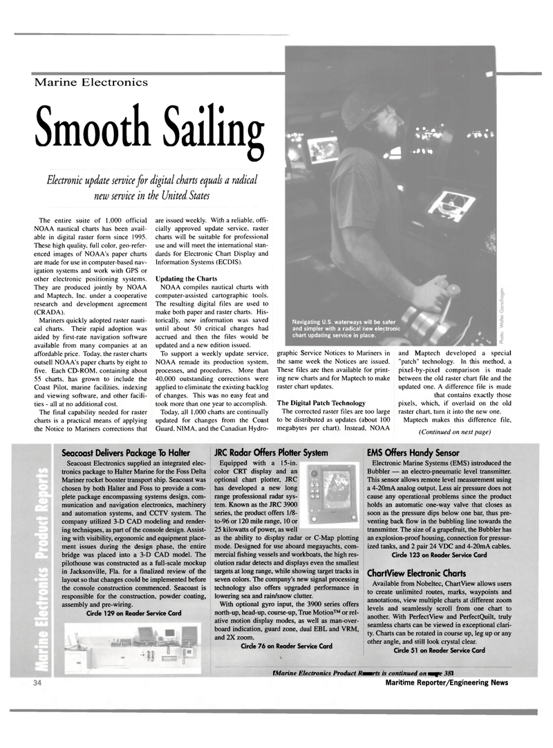
Navigating U.S. waterways will be safer and simpler with a radical new electronic chart updating service in place. graphic Service Notices to Mariners in the same week the Notices are issued.
These files are then available for print- ing new charts and for Maptech to make raster chart updates.
The Digital Patch Technology
The corrected raster files are too large to be distributed as updates (about 100 megabytes per chart). Instead, NOAA and Maptech developed a special "patch" technology. In this method, a pixel-by-pixel comparison is made between the old raster chart file and the updated one. A difference file is made that contains exactly those pixels, which, if overlaid on the old raster chart, turn it into the new one.
Maptech makes this difference file, (Continued on next page)
Seacoast Delivers Package To Halter
Seacoast Electronics supplied an integrated elec- tronics package to Halter Marine for the Foss Delta
Mariner rocket booster transport ship. Seacoast was chosen by both Halter and Foss to provide a com- plete package encompassing systems design, com- munication and navigation electronics, machinery and automation systems, and CCTV system. The company utilized 3-D CAD modeling and render- ing techniques, as part of the console design. Assist- ing with visibility, ergonomic and equipment place- ment issues during the design phase, the entire bridge was placed into a 3-D CAD model. The pilothouse was constructed as a full-scale mockup in Jacksonville, Fla. for a finalized review of the layout so that changes could be implemented before the console construction commenced. Seacoast is responsible for the construction, powder coating, assembly and pre-wiring.
Circle 129 on Reader Service Card
JRC Radar Offers Plotter System
Equipped with a 15-in. color CRT display and an optional chart plotter, JRC has developed a new long range professional radar sys- tem. Known as the JRC 3900 series, the product offers 1/8- to-96 or 120 mile range, 10 or 25 kilowatts of power, as well as the ability to display radar or C-Map plotting mode. Designed for use aboard megayachts, com- mercial fishing vessels and workboats, the high res- olution radar detects and displays even the smallest targets at long range, while showing target tracks in seven colors. The company's new signal processing technology also offers upgraded performance in lowering sea and rain/snow clutter.
With optional gyro input, the 3900 series offers north-up, head-up. course-up, True Motion™ or rel- ative motion display modes, as well as man-over- board indication, guard zone, dual EBL and VRM, and 2X zoom.
Circle 76 on Reader Service Card
EMS Offers Handy Sensor
Electronic Marine Systems (EMS) introduced the
Bubbler — an electro-pneumatic level transmitter.
This sensor allows remote level measurement using a 4-20mA analog output. Less air pressure does not cause any operational problems since the product holds an automatic one-way valve that closes as soon as the pressure dips below one bar, thus pre- venting back flow in the bubbling line towards the transmitter. The size of a grapefruit, the Bubbler has an explosion-proof housing, connection for pressur- ized tanks, and 2 pair 24 VDC and 4-20mA cables.
Circle 123 on Reader Service Card
ChartView Electronic Charts
Available from Nobeltec, ChartView allows users to create unlimited routes, marks, waypoints and annotations, view multiple charts at different zoom levels and seamlessly scroll from one chart to another. With PerfectView and PerfectQuilt, truly seamless charts can be viewed in exceptional clari- ty. Charts can be rotated in course up, leg up or any other angle, and still look crystal clear.
Circle 51 on Reader Service Card (Marine Electronics Product Reports is continued on page 38) 36 Maritime Reporter/Engineering News
