
Page 23: of Offshore Engineer Magazine (Jun/Jul 2013)
Read this page in Pdf, Flash or Html5 edition of Jun/Jul 2013 Offshore Engineer Magazine
 22
22
 24
24
Geology & Geophysics
Eyebrow off- and onshore West Africa to provide valuable control data for mapping salt structures and thereby aiding the seismic interpretation. Ophir, Svenska,
CGGVeritas, and Maurel et Prom have all acquired FTG surveys to aid their seismic interpretation and imaging. In these cases, density contrasts result- ing from salt emplacements in denser surrounding sediments and carbon- ates create large signals in the FTG data that can aid the interpretation of seismic often characterized by low acoustic impedances. In the Red Sea, an ARKeX marine FTG survey in three blocks off the western coast of Saudi
Arabia were intended to improve the defnition of the top and fanks of salt bodies within the survey area. The
FTG data was able to enhance geologi- cal and velocity model building, and to improve overall 3D seismic imaging,
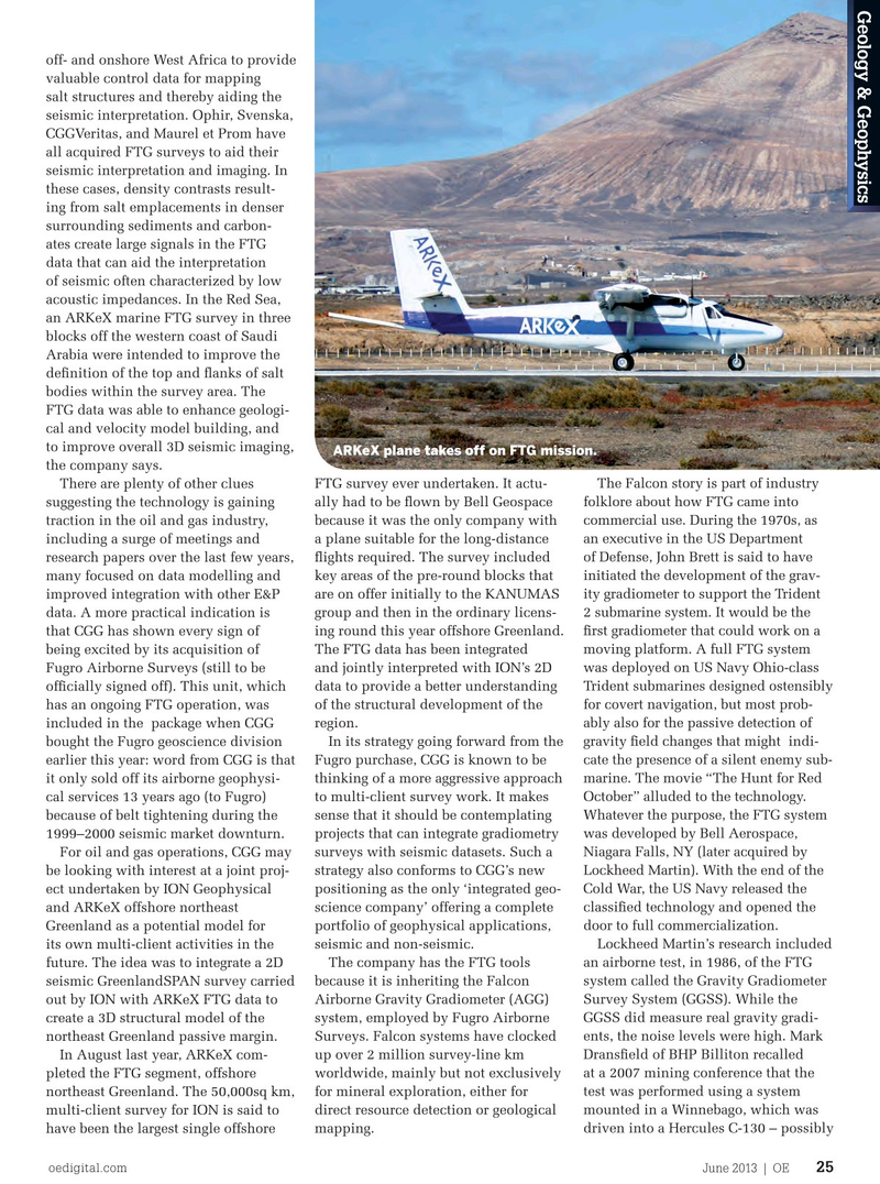
ARKeX plane takes off on FTG mission.
the company says.
There are plenty of other clues FTG survey ever undertaken. It actu- The Falcon story is part of industry suggesting the technology is gaining ally had to be fown by Bell Geospace folklore about how FTG came into traction in the oil and gas industry, because it was the only company with commercial use. During the 1970s, as including a surge of meetings and a plane suitable for the long-distance an executive in the US Department research papers over the last few years, fights required. The survey included of Defense, John Brett is said to have many focused on data modelling and key areas of the pre-round blocks that initiated the development of the grav- improved integration with other E&P are on offer initially to the KANUMAS ity gradiometer to support the Trident data. A more practical indication is group and then in the ordinary licens- 2 submarine system. It would be the that CGG has shown every sign of ing round this year offshore Greenland. frst gradiometer that could work on a being excited by its acquisition of The FTG data has been integrated moving platform. A full FTG system
Fugro Airborne Surveys (still to be and jointly interpreted with ION’s 2D was deployed on US Navy Ohio-class offcially signed off). This unit, which data to provide a better understanding Trident submarines designed ostensibly has an ongoing FTG operation, was of the structural development of the for covert navigation, but most prob- included in the package when CGG region. ably also for the passive detection of bought the Fugro geoscience division In its strategy going forward from the gravity feld changes that might indi- earlier this year: word from CGG is that Fugro purchase, CGG is known to be cate the presence of a silent enemy sub- it only sold off its airborne geophysi- thinking of a more aggressive approach marine. The movie “The Hunt for Red cal services 13 years ago (to Fugro) to multi-client survey work. It makes October” alluded to the technology. because of belt tightening during the sense that it should be contemplating Whatever the purpose, the FTG system 1999–2000 seismic market downturn. projects that can integrate gradiometry was developed by Bell Aerospace,
For oil and gas operations, CGG may surveys with seismic datasets. Such a Niagara Falls, NY (later acquired by be looking with interest at a joint proj- strategy also conforms to CGG’s new Lockheed Martin). With the end of the ect undertaken by ION Geophysical positioning as the only ‘integrated geo- Cold War, the US Navy released the and ARKeX offshore northeast science company’ offering a complete classifed technology and opened the
Greenland as a potential model for portfolio of geophysical applications, door to full commercialization. its own multi-client activities in the seismic and non-seismic. Lockheed Martin’s research included future. The idea was to integrate a 2D The company has the FTG tools an airborne test, in 1986, of the FTG seismic GreenlandSPAN survey carried because it is inheriting the Falcon system called the Gravity Gradiometer out by ION with ARKeX FTG data to Airborne Gravity Gradiometer (AGG) Survey System (GGSS). While the create a 3D structural model of the system, employed by Fugro Airborne GGSS did measure real gravity gradi- northeast Greenland passive margin. Surveys. Falcon systems have clocked ents, the noise levels were high. Mark
In August last year, ARKeX com- up over 2 million survey-line km Dransfeld of BHP Billiton recalled pleted the FTG segment, offshore worldwide, mainly but not exclusively at a 2007 mining conference that the northeast Greenland. The 50,000sq km, for mineral exploration, either for test was performed using a system multi-client survey for ION is said to direct resource detection or geological mounted in a Winnebago, which was have been the largest single offshore mapping. driven into a Hercules C-130 – possibly oedigital.com June 2013 | OE 25 024OE_0613_gg.indd 25 5/25/13 12:25 AM