
Page 29: of Offshore Engineer Magazine (Feb/Mar 2014)
Read this page in Pdf, Flash or Html5 edition of Feb/Mar 2014 Offshore Engineer Magazine
 28
28
 30
30
Geology & Geophysics dedicating the entire spread to the sole Further advances and innovations in in developing new technological solu- purpose of acquiring geotechnical data. the geoROV tool suite are planned in tions for seabed investigations starting
The geoROV system can be installed and 2014, including a heavier duty linear with miniature CPT equipment in the removed from an ROV in less than an drive unit, electric drive version, and 1990’s, progressing to a deep water heave hour, allowing for ? exible mission plan- ultra-deep water (6000m) capability. compensated drilling spread, and more ning in response to events and evolving recently ROV-deployed geotechnical requirements. Jim Edmunds has drilling, sampling, and in situ testing
Since inception, the geoROV systems spent 20 years in the systems. In 2010, Jim joined UTEC have been used in a wide and interesting offshore geotechnical Geomarine to head up the development range of projects including: industry, four with of new and innovative subsea technology •
Investigating thickness of sand cover UTEC Geomarine as and to build the integrated consulting above soft clay along a planned pipeline technology director. and contracting business. He holds a route (for design of the pipeline against Edmonds has also B.Eng (Hons) Civil Engineering from down-heave buckling). been heavily involved Manchester University.
•
Obtaining geotechnical parameters for foundation design in an area of gravel dump adjacent to existing subsea infra- structure – the test location could be
SamSon high-performance winch lineS positioned in between individual gravel pieces to ensure reliable data; several loca- tions were adjacent to or beneath a live platform and all were adjacent to subsea
GO DEEP structures in an area of gravel dump.
•
Cable and pipeline route investigations mounted in a standalone frame.
•
Mounted on a variety of jet trenching machines to benchmark trencher perfor- mance, to quantify unexpected trenching behaviour, or to enable real-time route and trenching programme development •
ROV-deployed acquisition of data for design of foundations for subsea mani- folds offshore Vietnam.
ROV-deployed seabed investigation • force using a combination of negative for a planned large gravity base platform buoyancy and vectored down-thrust. on Australia’s northwest shelf; about
An ROV-delivered 0.4kN is suf? cient to 200 CPTs were conducted on tight grid penetrate up to 3m in loose sands or low spacing to verify the absence of localized to intermediate strength clays, but for pockets of soft material.
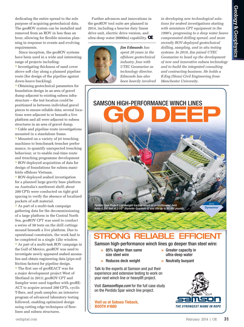
Perdido Spar Project: Lightweight traction winch on a cantilevered deck • deeper penetration in stronger soils, more As part of a multi-task campaign holds 9,200 feet of 2-1/2" diameter Quantum-12 and lifts up to 90,000 pounds. holds 9,200 feet of 2-1/2" diameter Quantum-12 and lifts up to 90,000 pounds. holds 9,200 feet of 2-1/2" diameter Quantum-12 and lifts up to 90,000 pounds. reaction force is necessary. gathering data for the decommissioning
In 2013, the geoREACT tool skid was of a large platform in the Central North introduced to increase the capabilities Sea, geoROV CPT was used to conduct of the free-? ying ROV deployment. The a series of 50 tests on the drill cuttings tool skid utilizes two suction cans to mound beneath a live platform. Due to provide additional reaction force in suit- operational constraints, the work had to
STRONG RELIABLE EFFICIENT able seabeds (i.e., most seabeds, except be completed in a single 12hr window.
Samson high-performance winch lines go deeper than steel wire: •
As part of a multi-task ROV campaign in gravel or strong clay). The geoROV drive the Gulf of Mexico, geoROV was used to unit is mounted above the pair of suction > 85% lighter than same > greater capacity in investigate newly appeared seabed anoma- cans and the chassis is attached to the size steel wire ultra-deep water lies and obtain engineering data (pipe-soil underside of the ROV using a standard, > reduces deck weight > neutrally buoyant friction factors) for pipeline design.
four-point tool-skid connection. •
The system is useful where conven- The ? rst use of geoREACT was for
Talk to the experts at Samson and put their tional deployment may be technically a major development project West of experience and extensive testing to work on challenging, hazardous, expensive, or Shetland in 2013; geoROV CPT and your next winch line or heavylift project. impossible to undertake, and it is also Sampler were used together with geoRE-
Visit SamsonRope.com for the full case study gaining a reputation for ef? cient opera- ACT to acquire around 200 CPTs, cyclic on the Perdido Spar winch line project.
tion compared with conventional meth- T-Bars, and push samples; an intensive ods. Additionally, it is often convenient program of advanced laboratory testing ® for a contractor to have the ability to followed, enabling optimized design
Visit us at Subsea Tieback,
BooTh #1680 recover high quality geotechnical data using cutting edge techniques of ? ow-
Dyneema is a registered trademark of Royal DSM N.V. Dyneema is DSM’s high-performance polyethylene product.Dyneema is DSM’s high-performance polyethylene product.Dyneema is DSM’s high-performance polyethylene product.
during their offshore campaign without lines and subsea structures.
oedigital.com February 2014 | OE 31 030_OE0214_G&G1_UTEC.indd 31 1/22/14 12:40 PM