
Page 57: of Marine Technology Magazine (May/Jun 2012)
Hydrographic Survey
Read this page in Pdf, Flash or Html5 edition of May/Jun 2012 Marine Technology Magazine
 56
56
 58
58
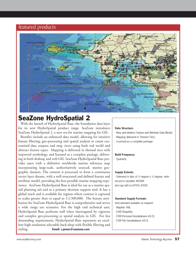
www.seadiscovery.com Marine Technology Reporter 57SeaZone HydroSpatial 2 With the launch of HydroSpatial Base, the foundation data layer for its new HydroSpatial product range. SeaZone introduces SeaZone HydroSpatial 2, a new era for marine mapping for GIS. Benefits include an enhanced data model, allowing for intuitive feature filtering; geo-processing and spatial analysis to create cus- tomized data outputs and map views using both real world and abstract feature types. Mapping is delivered in themed tiers with improved symbology, and licensed as a complete package, deliver- ing in both desktop and web GIS. SeaZone HydroSpatial Base pro- vides users with a definitive worldwide marine reference map incorporating large-scale, authoritatively sourced, marine geo- graphic datasets. The content is processed to form a continuous vector layer dataset, with a well structured and defined feature and attribute model, providing the best possible marine mapping expe- rience. SeaZone HydroSpatial Base is ideal for use as a marine spa- tial planning aid and as a primary decision support tool. It has a global reach and is available for regions where content is captured to scales greater than or equal to 1:1,500,000. The feature attri- bution for SeaZone HydroSpatial Base is comprehensive and serves a wide range use scenarios. For the high end technical user, HydroSpatial Base performs well when interrogated by vigorous and complex geo-processing or spatial analysis in GIS. For less demanding requirements, HydroSpatial Base represents an excel- lent high-resolution selectable back-drop with flexible filtering and styling. Email: s.james@ seazone.com featured products © British Crown Copyright, 2012. All rights reserved Data Structure: - New and intuitive Feature and Attribute Data Model; - Mapping delivered in Themed Tiers; - Licensed as a complete packageBuild Frequency - Quarterly Supply Extents:- Delivered in tiles of ½ degree x ½ degree, refer- enced to Geodetic WGS84[urn:ogc:def:crs:EPSG::4326]Standard Supply Formats: (non-standard available on request) - MapInfo TAB; - ESRI Shapefile; - ESRI Personal Geodatabase (v9.2);- ESRI File Geodatabase (v9.2)MTR#4 (50-64):MTR Layouts 5/7/2012 9:08 AM Page 57