
Page 18: of Marine Technology Magazine (Nov/Dec 2012)
Fresh Water Monitoring & Sensors
Read this page in Pdf, Flash or Html5 edition of Nov/Dec 2012 Marine Technology Magazine
 17
17
 19
19
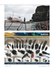
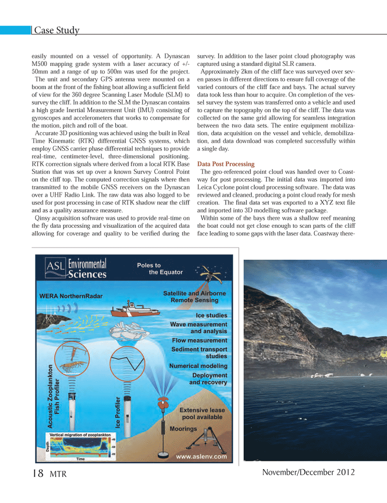
Case Study easily mounted on a vessel of opportunity. A Dynascan M500 mapping grade system with a laser accuracy of +/- 50mm and a range of up to 500m was used for the project. The unit and secondary GPS antenna were mounted on a boom at the front of the Þ shing boat allowing a sufÞ cient Þ eld of view for the 360 degree Scanning Laser Module (SLM) to survey the cliff. In addition to the SLM the Dynascan contains a high grade Inertial Measurement Unit (IMU) consisting of gyroscopes and accelerometers that works to compensate for the motion, pitch and roll of the boat. Accurate 3D positioning was achieved using the built in Real Time Kinematic (RTK) differential GNSS systems, which employ GNSS carrier phase differential techniques to provide real-time, centimeter-level, three-dimensional positioning. RTK correction signals where derived from a local RTK Base Station that was set up over a known Survey Control Point on the cliff top. The computed correction signals where then transmitted to the mobile GNSS receivers on the Dynascan over a UHF Radio Link. The raw data was also logged to be used for post processing in case of RTK shadow near the cliff and as a quality assurance measure.Qinsy acquisition software was used to provide real-time on the ß y data processing and visualization of the acquired data allowing for coverage and quality to be veriÞ ed during the survey. In addition to the laser point cloud photography was captured using a standard digital SLR camera.Approximately 2km of the cliff face was surveyed over sev- en passes in different directions to ensure full coverage of the varied contours of the cliff face and bays. The actual survey data took less than hour to acquire. On completion of the ves- sel survey the system was transferred onto a vehicle and used to capture the topography on the top of the cliff. The data was collected on the same grid allowing for seamless integration between the two data sets. The entire equipment mobiliza- tion, data acquisition on the vessel and vehicle, demobiliza- tion, and data download was completed successfully within a single day. Data Post Processing The geo-referenced point cloud was handed over to Coast- way for post processing. The initial data was imported into Leica Cyclone point cloud processing software. The data was reviewed and cleaned, producing a point cloud ready for mesh creation. The Þ nal data set was exported to a XYZ text Þ le and imported into 3D modelling software package. Within some of the bays there was a shallow reef meaning the boat could not get close enough to scan parts of the cliff face leading to some gaps with the laser data. Coastway there- November/December 201218 MTRMTR #9 (18-33).indd 18MTR #9 (18-33).indd 1812/3/2012 3:57:41 PM12/3/2012 3:57:41 PM