
Page 34: of Marine Technology Magazine (Mar/Apr 2015)
Oceanographic Instrumentation: Measurement, Process & Analysis
Read this page in Pdf, Flash or Html5 edition of Mar/Apr 2015 Marine Technology Magazine
 33
33
 35
35
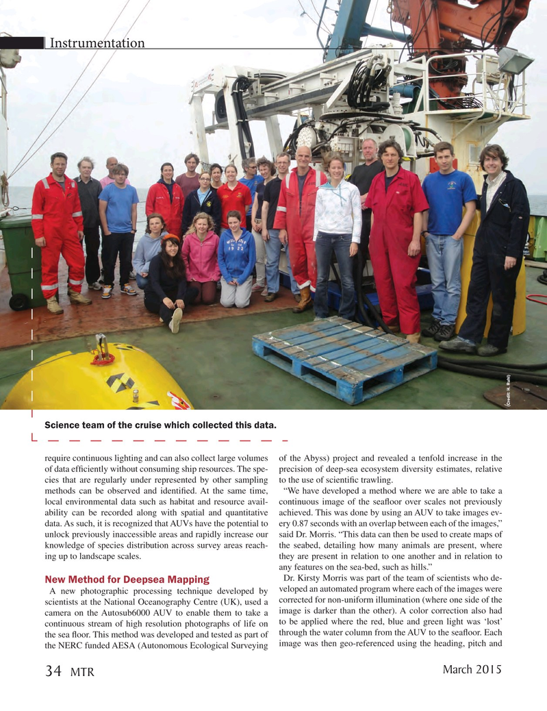
Instrumentation (Credit: H. Ruhl)
Science team of the cruise which collected this data. require continuous lighting and can also collect large volumes of the Abyss) project and revealed a tenfold increase in the of data ef? ciently without consuming ship resources. The spe- precision of deep-sea ecosystem diversity estimates, relative cies that are regularly under represented by other sampling to the use of scienti? c trawling.
methods can be observed and identi? ed. At the same time, “We have developed a method where we are able to take a local environmental data such as habitat and resource avail- continuous image of the sea? oor over scales not previously ability can be recorded along with spatial and quantitative achieved. This was done by using an AUV to take images ev- data. As such, it is recognized that AUVs have the potential to ery 0.87 seconds with an overlap between each of the images,” unlock previously inaccessible areas and rapidly increase our said Dr. Morris. “This data can then be used to create maps of knowledge of species distribution across survey areas reach- the seabed, detailing how many animals are present, where ing up to landscape scales. they are present in relation to one another and in relation to any features on the sea-bed, such as hills.”
Dr. Kirsty Morris was part of the team of scientists who de-
New Method for Deepsea Mapping
A new photographic processing technique developed by veloped an automated program where each of the images were scientists at the National Oceanography Centre (UK), used a corrected for non-uniform illumination (where one side of the camera on the Autosub6000 AUV to enable them to take a image is darker than the other). A color correction also had continuous stream of high resolution photographs of life on to be applied where the red, blue and green light was ‘lost’ the sea ? oor. This method was developed and tested as part of through the water column from the AUV to the sea? oor. Each the NERC funded AESA (Autonomous Ecological Surveying image was then geo-referenced using the heading, pitch and
March 2015 34
MTR
MTR #2 (34-49).indd 34 MTR #2 (34-49).indd 34 3/8/2015 1:08:49 PM3/8/2015 1:08:49 PM