
Page 30: of Marine Technology Magazine (Sep/Oct 2016)
Ocean Observation: Gliders, Buoys & Sub-Surface Networks
Read this page in Pdf, Flash or Html5 edition of Sep/Oct 2016 Marine Technology Magazine
 29
29
 31
31
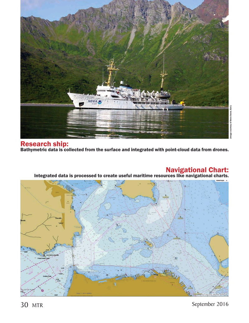
(Image courtesy of Steve Snow, Esri.)
Research ship:
Bathymetric data is collected from the surface and integrated with point-cloud data from drones.
Navigational Chart:
Integrated data is processed to create useful maritime resources like navigational charts.
September 2016 30 MTR
MTR #7 (18-33).indd 30 8/25/2016 10:08:26 AM