
Page 56: of Marine Technology Magazine (Mar/Apr 2017)
Oceanographic Instrumentation: Measurement, Process & Analysis
Read this page in Pdf, Flash or Html5 edition of Mar/Apr 2017 Marine Technology Magazine
 55
55
 57
57
Sonar & Seafloor Mapping mon goal of delivering a high quality, tracking of the vessel. Structures were were done via the ROV, using handheld open comparison of LBL metrology loaded onto the vessel and readied for digiquartz pressure sensors. Next, base- versus AAINS metrology to the industry deployment. line measurements were taken between moved into view. A temporary acoustic long baseline the array and compatts installed in spe- (LBL) array was created up on the sea- cially-made receptacles in the subsea bed around the structures. Sonardyne targets. The array was used to establish
Friday, December 3
Using Faro Focus laser scanner, a DOF provided the necessary Compatt 6 LBL accurate positions for the seabed struc-
Subsea Dimensional Control surveyor transponders which were swiftly de- tures. Calculations were done on the raw conducted as-built laser scans of the tar- ployed by Loch Shiel using a standard observed data using Sonardyne Connect get structures. The scans were processed subsea basket supplied by Seatronics. software, in addition to veri? cation us- and millimeter-accurate information re- Approximate positions of the com- ing DOF Subsea Metro solution.
lating to the structures was now in hand. patts were established using Loch Shiel The following morning, the team was
Gathering dimensional control survey GPS. The purpose of the compatts is ready to proceed to acquire a compari- data introduces signi? cant opportuni- to create a temporary, stand-alone high son data set, delivered by the ROV posi- ties for later in this process, speci? cally accuracy relative positioning system tioned using the AAINS system, in con- new inferred metrology calculations. between (known as the array) remov- junction with dynamic laser scanning
The survey control room was initiated ing the need for high accuracy absolute via the 2G Robotics laser.
and mobilization began. positioning of the compatts themselves.
[Onboard Loch Shiel]
Monday, December 5 Tuesday, December 6 Wednesday, December 7
Support vessel Loch Shiel had a DOF Focus was on calibrating/adjusting When using sensors such as multi-
Subsea tug pack installed to allow te- the array system and conducting the beam sonar or lasers for seabed/asset lemetry of position and heading to the traditional LBL calculations. Depth mapping, it is vital to conduct a patch survey control room to allow remote measurements between the structures test. This patch test allowed the survey-
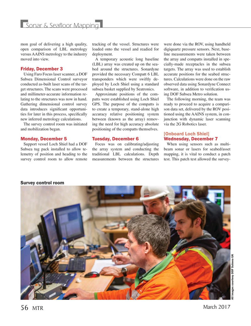
Survey control room
All images courtesy DOF Subsea UK
March 2017 56
MTR
MTR #2 (50-65).indd 56 MTR #2 (50-65).indd 56 3/1/2017 10:21:28 AM3/1/2017 10:21:28 AM