
Page 8: of Marine Technology Magazine (Jun/Jul 2019)
Hydrographic Survey: Single & Multibeam Sonar
Read this page in Pdf, Flash or Html5 edition of Jun/Jul 2019 Marine Technology Magazine
 7
7
 9
9
Technology New & Notable
Subsea Visualization: Sonardyne Tech for Seabed “You never miss anything” Observatory
At the Offshore Technology Confer- A new seabed observatory is to be ence 2019 (OTC) in Houston this year deployed offshore Vancouver, Canada,
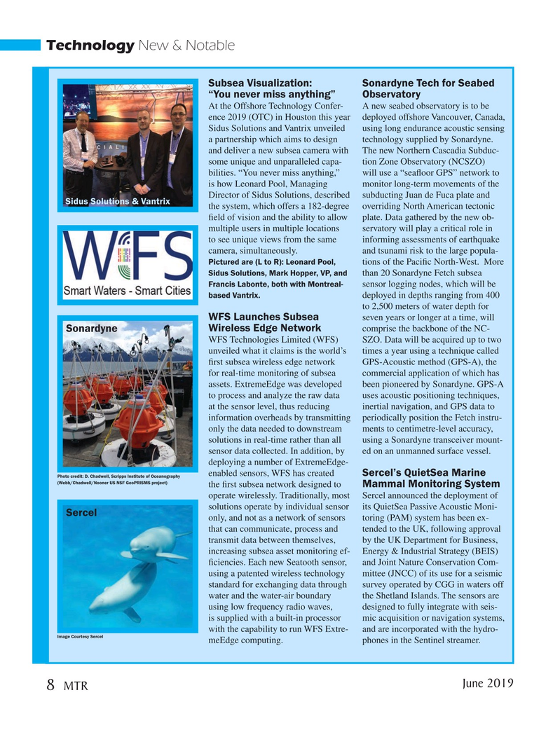
Sidus Solutions and Vantrix unveiled using long endurance acoustic sensing a partnership which aims to design technology supplied by Sonardyne. and deliver a new subsea camera with The new Northern Cascadia Subduc- some unique and unparalleled capa- tion Zone Observatory (NCSZO) bilities. “You never miss anything,” will use a “sea? oor GPS” network to is how Leonard Pool, Managing monitor long-term movements of the
Director of Sidus Solutions, described subducting Juan de Fuca plate and
Sidus Solutions & Vantrix the system, which offers a 182-degree overriding North American tectonic ? eld of vision and the ability to allow plate. Data gathered by the new ob- multiple users in multiple locations servatory will play a critical role in to see unique views from the same informing assessments of earthquake camera, simultaneously. and tsunami risk to the large popula-
Pictured are (L to R): Leonard Pool, tions of the Paci? c North-West. More
Sidus Solutions, Mark Hopper, VP, and than 20 Sonardyne Fetch subsea
Francis Labonte, both with Montreal- sensor logging nodes, which will be based Vantrix. deployed in depths ranging from 400 to 2,500 meters of water depth for
WFS Launches Subsea seven years or longer at a time, will comprise the backbone of the NC-
Sonardyne Wireless Edge Network
WFS Technologies Limited (WFS) SZO. Data will be acquired up to two unveiled what it claims is the world’s times a year using a technique called ? rst subsea wireless edge network GPS-Acoustic method (GPS-A), the for real-time monitoring of subsea commercial application of which has assets. ExtremeEdge was developed been pioneered by Sonardyne. GPS-A to process and analyze the raw data uses acoustic positioning techniques, at the sensor level, thus reducing inertial navigation, and GPS data to information overheads by transmitting periodically position the Fetch instru- only the data needed to downstream ments to centimetre-level accuracy, solutions in real-time rather than all using a Sonardyne transceiver mount- sensor data collected. In addition, by ed on an unmanned surface vessel. deploying a number of ExtremeEdge- enabled sensors, WFS has created Sercel’s QuietSea Marine
Photo credit: D. Chadwell, Scripps Institute of Oceanography (Webb/Chadwell/Nooner US NSF GeoPRISMS project) the ? rst subsea network designed to Mammal Monitoring System operate wirelessly. Traditionally, most Sercel announced the deployment of solutions operate by individual sensor its QuietSea Passive Acoustic Moni-
Sercel only, and not as a network of sensors toring (PAM) system has been ex- that can communicate, process and tended to the UK, following approval transmit data between themselves, by the UK Department for Business, increasing subsea asset monitoring ef- Energy & Industrial Strategy (BEIS) ? ciencies. Each new Seatooth sensor, and Joint Nature Conservation Com- using a patented wireless technology mittee (JNCC) of its use for a seismic standard for exchanging data through survey operated by CGG in waters off water and the water-air boundary the Shetland Islands. The sensors are using low frequency radio waves, designed to fully integrate with seis- is supplied with a built-in processor mic acquisition or navigation systems, with the capability to run WFS Extre- and are incorporated with the hydro-
Image Courtesy Sercel meEdge computing. phones in the Sentinel streamer. June 2019 8
MTR
MTR #5 (1-17).indd 8 5/28/2019 9:11:17 AM