
Page 17: of Marine Technology Magazine (Apr/May 2020)
Read this page in Pdf, Flash or Html5 edition of Apr/May 2020 Marine Technology Magazine
 16
16
 18
18
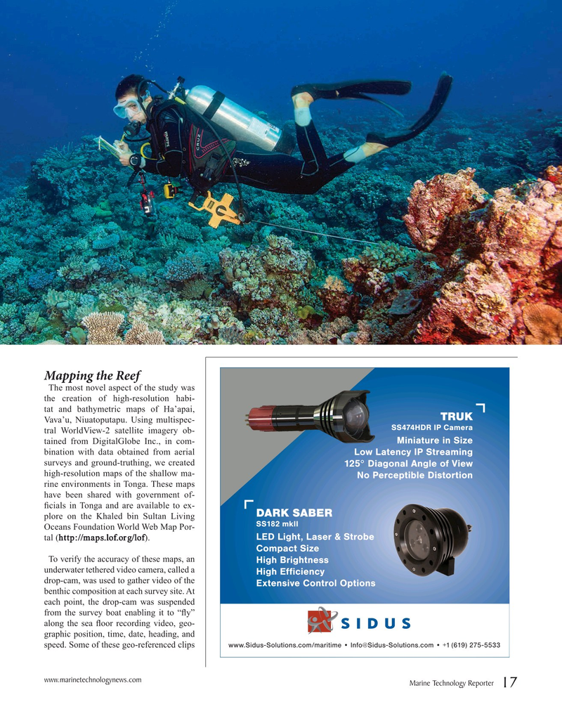
Mapping the Reef
The most novel aspect of the study was the creation of high-resolution habi- tat and bathymetric maps of Ha’apai,
Vava’u, Niuatoputapu. Using multispec- tral WorldView-2 satellite imagery ob- tained from DigitalGlobe Inc., in com- bination with data obtained from aerial surveys and ground-truthing, we created high-resolution maps of the shallow ma- rine environments in Tonga. These maps have been shared with government of- fcials in Tonga and are available to ex- plore on the Khaled bin Sultan Living
Oceans Foundation World Web Map Por- tal (http://maps.lof.org/lof).
To verify the accuracy of these maps, an underwater tethered video camera, called a drop-cam, was used to gather video of the benthic composition at each survey site. At each point, the drop-cam was suspended from the survey boat enabling it to “fy” along the sea foor recording video, geo- graphic position, time, date, heading, and speed. Some of these geo-referenced clips www.marinetechnologynews.com
Marine Technology Reporter 17