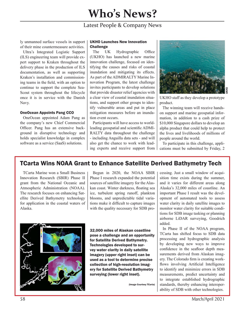
Page 58: of Marine Technology Magazine (March 2021)
Oceanographic Instrumentation & Sensors
Read this page in Pdf, Flash or Html5 edition of March 2021 Marine Technology Magazine
Who’s News?
Latest People & Company News ly unmanned surface vessels in support UKHO Launches New Innovation of their mine countermeasure activities. Challenge
Ultra’s Integrated Logistic Support The UK Hydrographic Of? ce (ILS) engineering team will provide ex- (UKHO) has launched a new marine pert support to Kraken throughout the innovation challenge, focused on iden- delivery phase in the production of ILS tifying the causes and risks of coastal documentation, as well as supporting inundation and mitigating its effects.
Kraken’s installation and commission- As part of the ADMIRALTY Marine In- ing teams in the ? eld, with an option to novation Program, the latest challenge continue to support the complete Sea- invites participants to develop solutions
UKHO
Scout system throughout the lifecycle that provide disaster relief agencies with once it is in service with the Danish a clear view of coastal inundation situa- UKHO staff as they develop a prototype
Navy. tions, and support other groups to iden- product. tify vulnerable areas and put in place The winning team will receive hands-
OneOcean Appoints Pang CCO mitigation measures before an inunda- on support and marine geospatial infor-
OneOcean appointed Adam Pang as tion event occurs. mation, in addition to a cash prize of the company’s new Chief Commercial Participants will have access to world- $10,000 Singapore dollars to develop an
Of? cer. Pang has an extensive back- leading geospatial and scienti? c ADMI- alpha product that could help to protect ground in disruptive technology and RALTY data throughout the challenge the lives and livelihoods of millions of holds specialist knowledge in complex - including Anguilla data sets - and will people around the world.
software as a service (SaaS) solutions. also get the chance to work with lead- To participate in this challenge, appli- ing experts and receive support from cations must be submitted by Friday, 2
TCarta Wins NOAA Grant to Enhance Satellite Derived Bathymetry Tech
TCarta Marine won a Small Business Begun in 2020, the NOAA SBIR cessing. Just a small window of acqui-
Innovation Research (SBIR) Phase II Phase I research expanded the potential sition time exists during the summer, grant from the National Oceanic and sources of satellite imagery for the Alas- and it varies for different areas along
Atmospheric Administration (NOAA). kan coast. Winter darkness, ? oating sea Alaska’s 32,000 miles of coastline. An
The research focuses on enhancing Sat- ice, turbulent spring runoff, plankton important Phase I result was the devel- ellite Derived Bathymetry technology blooms, and unpredictable tidal varia- opment of automated tools to assess for application in the coastal waters of tions make it dif? cult to capture images water clarity in daily satellite images to
Alaska. with the quality necessary for SDB pro- monitor water clarity for suitable condi- tions for SDB image tasking or planning airborne LiDAR surveying, Goodrich added.
In Phase II of the NOAA program, 32,000 miles of Alaskan coastline
TCarta has shifted focus to SDB data pose a challenge and an opportunity processing and hydrographic analysis for Satellite Derived Bathymetry. by developing new ways to improve
Technologies developed to sur- con? dence in the sea? oor depth mea- vey water clarity in daily satellite surements derived from Alaskan imag- imagery (upper right inset) can be ery. The Colorado ? rm is creating work- used as a tool to determine precise collection of high-resolution imag- ? ows involving Arti? cial Intelligence ery for Satellite Derived Bathymetry to identify and minimize errors in SDB surveying (lower right inset). measurements, predict uncertainty and to integrate established hydrographic (Image Courtesy TCarta) standards, thereby enhancing interoper- ability of SDB with other technologies.
58 March/April 2021
MTR #3 (50-63).indd 58 3/23/2021 10:27:52 AM

 57
57

 59
59
