Page 47: of Maritime Reporter Magazine (September 1995)
Read this page in Pdf, Flash or Html5 edition of September 1995 Maritime Reporter Magazine
 46
46
 48
48
vice.
NDI has actually been the first case of such a cooperation, and has set a new model that is being watched by many HOs around the world. As an indication of the global nature of navigation, it is worth noting that C-MAP and NDI have recently entered into a strategic al- liance which encompasses all as- pects of the market, including: pro- duction and distribution of electronic charts, cooperation with hydro- graphic offices, sharing of technol- ogy, and the standardization of elec- tronic chart usage. As part of this agreement, C-MAP has acquired an equity position in NDI. The Cana- dian Hydrographic Service has fully supported this agreement and has reaffirmed its partnership with NDI.
As G.R. Douglas, Canada's Domin- ion Hydrographer, said: "Although it is strictly a business arrangement between two companies, we con- sider it to be a very positive move towards the integration of electronic chart services and the cooperation between the Government Hydro- graphic Offices and the Industry."
There are several ways a govern- ment agency could take advantage of the support available from the private sector. For example, C-MAP and NDI could provide a complete supply of data for certification, or just the hardware and software tools for data production and quality checking. With these options, HOs could choose the level of support they required, and all countries might easily and quickly partici- pate in the development of a world- wide ECDIS database.
A perceived obstacle which has been written about lately is the need to have the world's waterways re- surveyed, and the lack of resources available to do so. This, as it per- tains to the effective introduction of
ECDIS for use by SOLAS class ships, should not be a big obstacle. Most travel lane data required for safe travel by SOLAS class ships are accurate enough as they are today or could be quickly re-surveyed for the purpose. If there is a particular area which is deemed unsafe or, for some reason, cannot be re-surveyed, it could also be designated on the electronic chart as a "no data" area or "unsafe" zone. The capacity to designate a particular area as an "unsafe" zone is truly an important safety feature of an ECDIS quality chart, and it should be freely used and duly respected.
Once a worldwide ECDIS data- base is completed and endorsed by
HOs, the next step making ECDIS mandatory on all SOLAS class ships.
Only then could ECDIS be used most successfully to increase the safety of the world's waterways.
When ECDIS becomes required technology, the charting function of the information system could po- tentially advance to a more mature format through the transformation of electronic charts into something more than an electronic version of
September, 1995
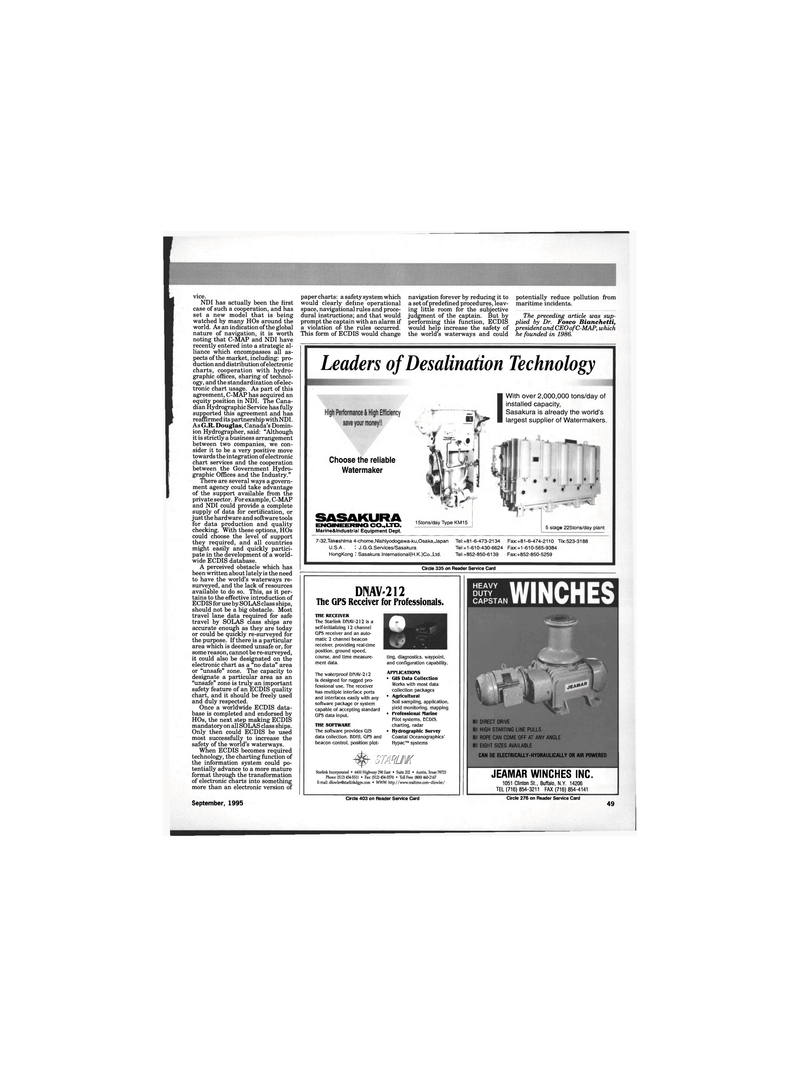
DNAV-212
The GPS Receiver for Professionals.
THE RECEIVER
The Starlink DMAV-212 is a self-initializing 12 channel
GPS receiver and an auto- matic 2 channel beacon receiver, providing real-time position, ground speed, course, and time measure- ment data.
The waterproof DMAV-212 is designed for rugged pro- fessional use. The receiver has multiple interface ports and interfaces easily with any software package or system capable of accepting standard
GPS data input.
THE SOFTWARE
The software provides GIS data collection, BDHI, GPS and beacon control, position plot- ting, diagnostics, waypoint, and configuration capability.
APPLICATIONS • GIS Data Collection
Works with most data collection packages • Agricultural
Soil sampling, application, yield monitoring, mapping • Professional Marine
Pilot systems, ECDIS, charting, radar • Hydrographic Survey
Coastal Oceanographies'
Hypac™ systems
RIM
Starlink Incorporated • 6400 Highway 290 East • Suite 202 • Austin, Texas 78723
Phone:(512)454-5511 • Fax:(512)454-5570 • Toll Free: (800) 460-2167
E-mail: [email protected] • WWW: http://www.realtime.com~dfowler/ • paper charts: a safety system which would clearly define operational space, navigational rules and proce- dural instructions; and that would prompt the captain with an alarm if a violation of the rules occurred.
This form of ECDIS would change navigation forever by reducing it to a set of predefined procedures, leav- ing little room for the subjective judgment of the captain. But by performing this function, ECDIS would help increase the safety of the world's waterways and could potentially reduce pollution from maritime incidents.
The preceding article was sup- plied by Dr. Fosco Bianchetti, president and CEO of C-MAP, which he founded in 1986. 7-32,Takeshima 4-chome,Nishiyodogawa-ku,Osaka,Japan Tel:+81-6-473-2134 Fax:+81-6-474-2110 Tlx:523-3188
U.S.A. : J.G.G.Services/Sasakura Tel:+1-610-430-6624 Fax:+1-610-565-9384
HongKong : Sasakura lnternational(H.K.)Co.,Ltd. Tel:+852-850-6139 Fax:+852-850-5259
Circle 403 on Reader Service Card Circle 276 on Reader Service Card 49
Leaders of Desalination Technology
JEAMAR WINCHES INC. 1051 Clinton St., Buffalo, N.Y. 14206
TEL (716) 854-3211 FAX (716) 854-4141
Circle 335 on Reader Service Card
Choose the reliable
Watermaker
SASAKURA
ENGINEERING CO., LTD.
Marine&lndustrial Equipment Dept. 15tons/day Type KM15 5 stage 225tons/day plant
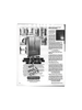
I DIRECT DRIVE
I HIGH STARTING LINE PULLS
I ROPE CAN COME OFF AT ANY ANGLE
I EIGHT SIZES AVAILABLE
CAN BE ELECTRICALLY-HYDRAULICALLY OR AIR POWERED
With over 2,000,000 tons/day of installed capacity,
Sasakura is already the world's largest supplier of Watermakers.
