Page 74: of Maritime Reporter Magazine (April 1997)
Read this page in Pdf, Flash or Html5 edition of April 1997 Maritime Reporter Magazine
 73
73
 75
75
THE ELECTRONIC CHART STANDARD
C-MAP
Horizons To Supply Map
Scanning Services
Maplnfo Corporation has named Horizons Technology, Inc. (HTI) of San Diego, Calif., its exclusive supplier of custom map scanning
Geological raster on
U.S. digital
Technology's is a series of
USGS maps that utilize Maplnfo software to display topographical contours, detailed highway and transportation networks, and timely statistical and trend data.
For more information on
Horizons Technology
Circle 77 on Reader Service Card catio mai
SAIT Communica/ion^/ and
Radio HollandSt^e intro- duced AS^iiAfmaiV a communi- msigned for both
Cellular communica-
TRA (mail) provides e- fax, data, telex and Internet communication to the maritime industry.
For more information on ASTRA
Circle 59 on Reader Service Card
Scan-Steering APS sc
SCHOTTEL means
We develop, design and power ratings up to 6000 kW.
System according to DIN El
Your main benefits usi • High performance • High reliability • High efficiency f It • High quality (and naturally a 24-month warranty) • High durability
Your main benefits joining SCHOTTEL engineers: • Tailored system engineering • Project and installation assistance • Professional service worldwide
For planning newbuildings or conversions we are the right partners, join us. systems with our Quality Management
SCHOTTEL-North America, Inc. 1505 Corbin Avenue, Hammond, LA 70403
Tel: (504) 5427174 • Fax: (504) 5425347
Headquarters:
SCHOTTEL-Werft Josef Becker GmbH & Co. KG
Mainzer Strasse 99, D-56322 Spay, Germany
Tel:+49 - 26 28 - 6 10-Fax:+ 49 - 26 28 - 6 13 00 76 Circle 245 on Reader Service Card
SCHOTTEL
Apelco Introduces Global
Positioning Systems
Apelco
Maritime Reporter/Engineering News
SAIT-RadioHolland
Inaugurate Maritime
Communications Package
S c a n -
Steering
APS has introduced a new gyro- compass designed to meet IMO and SOLAS specifica- tions. The
SCAN-2000 gyrocom- pass trans- fers signals the use ot ttlOefl*»mi^ftiuicl. SCAN- isign and has anual adjust- ment o"f latitude.
For more information on Scan-Steering
Circle 58 on Reader Service Card
Circle 295 on Reader Service Card
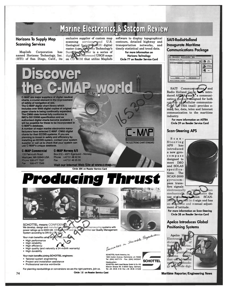
Producing Thrust
C-MAP are major suppliers of digital nautical charts, a crucial element in the improvement of safety of navigation at sea.
The C-MAP digital chart library which includes over 9000 digital copies of original —I paper charts is being continually expanded.
The CM93 data format fully conforms to
IMO's S57/DX90 specification and as authorised digital charts become available it will be possible for these to be incorporated in
C-MAP's database.
A number of major marine electronics manu- facturers have selected C-MAP CM93 digital charts for their ECDIS systems. If you are planning to invest in safety and efficiency by installing an ECDIS system, contact your system supplier or call us to check that your system can use C-MAP's unique database.
C-MAP Commercial 133 Falmouth Road
Mashpee, MA 02649 USA
Phone 508 477 7537
Fax 508 477 7549
C-MAP Norway A/S
Box 212 - 4371 Egersund - Norway
Phone +47 51 49 42 34
Fax +47 51 49 25 33
Visit our Internet Web Site at www.c-map.
