Page 32: of Maritime Reporter Magazine (November 1997)
Read this page in Pdf, Flash or Html5 edition of November 1997 Maritime Reporter Magazine
NAV/COM REVIEW
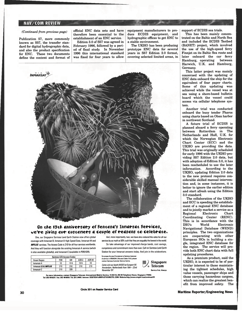
On the 15th flnnivcfsqry cf Sentcfffl's Innflfsflt Set-vices, we'fe giving cvr costcnefs fl ccuple cf fenscns tc ce(eb<-flte.
One, our Singapore Sentosa Land Earth Station now offers global coverage with Inmarsat-B, Inmarsat-B High Speed Data, Inmarsat-M and
MPLUS services. The Access Code is 210 for all four services worldwide.
And they will function alongside the existing Inmarsat-A service (which is also available globally), and Inmarsat-C (available in POR/IOR).
Sentosa LES Access Codes
Ocean Region P0R I0R A0R-E A0R-W
Inmarsat-A 10 13-5 13-5 10
Inmarsat-B/M/MPIt/S 210 210 210 210
Inmarsat-C 210 328
And, more importantly, two, we have also reduced the rates for all our services by as much as 50% such that they are arguably the lowest in the world.
So take advantage of our improved charge bands, cost savings, competence and commitment more than ever. Call on Sentosa Land Earth
Station for your Inmarsat answers today. And join in the celebrations.
For proper Access Procedures to Sentosa Inmarsat-
A service in IOR/AOR-E {Access Codes 13-5), please contact Sentosa Customer Service Centre.
Come visit our booth (W337I at Europort '97,
Amsterdam, Netherlands from 18th-22nd
November'97.
Singapore
Telecom
Service first Always.
For more information, contact Singapore Telecom, International Mobile Service. 15 Hill St, #02-00 Telephone House, Singapore 179352.
Tel: (6514816231. Fax: (65! 4818050. Tlx: (87) 34842. Internet: SENTOSA%IMIR%[email protected]. Website:http://www.singtel.com/sentosaLES
Circle 301 on Reader Service Card 30 Maritime Reporter/Engineering News support of ECDIS sea trials.
This has been mainly concen- trated on the Baltic and North Sea and included the ECDIS Testbed (BANET) project, which involved the use of the high-speed ferry
Finnjet on its Baltic Sea route and later onboard the car ferry
Hamburg, operating between
Harwich, U.K. and Hamburg,
Germany.
This latter project was mainly concerned with the updating of
ENC data onboard the ship for the equivalent of four paper charts.
Some of this updating was achieved while the vessel was at sea using a shore-based bulletin board which the vessel could access via cellular telephone sys- tem.
Another trial was conducted onboard the buoy tender Pharos using charts based on Oban harbor in northwest Scotland.
A future trial of ECDIS is planned aboard a ferry operating between Rotterdam in The
Netherlands and Hull, U.K. for which the Norwegian Electronic
Chart Center (ECC) and the
UKHO are providing the data.
This trial was originally scheduled for early 1996 with the UKHO pro- viding S57 Edition 2.0 data, but with adoption of Edition 3.0, it has been rescheduled to use the later information. According to the
UKHO, updating Edition 2.0 data to the new protocol requires con- siderable skilled manual interven- tion and, in some instances, it is better to ignore the earlier edition and start afresh using the Edition 3.0 standard.
The collaboration of the UKHO and ECC is speeding the establish- ment of a regional ENC database and to jointly market a service as a
Regional Electronic Chart
Coordinating Center (RENC).
This is in accordance with the
IHO's World Electronic
Navigational Database (WEND) principles. The two organizations are cooperating with other
European HOs in building a sin- gle, integrated ENC database for the region. The service will pro- vide both ENC chart data with full updating procedures.
As a premium product, said the
UKHO, it is expected to be of par- ticular interest to those maintain- ing the tightest schedules, high value vessels, passenger ships and those carrying hazardous cargoes, which can realize the greatest ben- efit from improved safety. The (Continued from previous page)
Publication 57, more commonly known as S57, the transfer stan- dard for digital hydrographic data, and also the product specification for ENC. These two documents define the content and format of official ENC data sets and have therefore been essential to the establishment of an ENC service.
Edition 3.0 of S57 was agreed in
February 1996, followed by a peri- od of final study. In November 1996 this international standard was fixed for four years to allow equipment manufacturers to pro- duce ECDIS equipment, and hydrographic offices to get ENC to a stable environment.
The UKHO has been producing prototype ENC data for several years in S57 Edition 2.0 format, covering selected limited areas, in

 31
31

 33
33
