
Page 66: of Maritime Reporter Magazine (March 2011)
Ship Repair & Conversion
Read this page in Pdf, Flash or Html5 edition of March 2011 Maritime Reporter Magazine
 65
65
 67
67
66 Maritime Reporter & Engineering News
BOOK EXCERPT
By mid-August of 1943 the Allied command had decided that they should land on the beaches of Normandy in the spring of 1944. The success of the oper- ation to drive the Nazis out of northern
Europe, Operation Overlord, depended first on winning the beachhead at Nor- mandy on D-Day and then on efficiently moving large numbers of troops and supplies across those beaches. The
Overlord planners estimated that it would take at least fifteen weeks to move enough Allied divisions across the
English Channel and the Normandy beaches to equal those that Germany al- ready had in northern France and Bel- gium. That fifteen-week estimate assumed that there would be good weather and good wave conditions the entire time, which was highly unlikely.
Accurate predictions of sea, swell, and surf were therefore going to play a vital role in determining the success of both the initial amphibious landing and the subsequent transport of troops and sup- plies for months thereafter.
By this time Walter Munk and
Harald Sverdrup were back at Scripps in
California. Sverdrup had set up a train- ing course on wave prediction, and
Munk was assisting. Over two hundred officers from the Army Air Force, Navy, and Marine Corps were trained, those officers later participating in the plan- ning and execution of amphibious land- ings at Sicily and Normandy, and then all landings in the Pacific theater of war, including Iwo Jima, Okinawa, and the
Philippines. The course was constantly being modified as improvements were made to the wave prediction technique.
The trained officers helped test the Sver- drup-Munk method, and each had to adapt it to the particular coastal region to which he was assigned. To further im- prove their method, Munk and Sverdrup tried to calibrate the predicted wave heights and periods by comparing them to observed heights and periods during each amphibious landing when it oc- curred. These were only visual estimates made by the coxswains on the landing boats, but they were still useful. This led to the definition of significant wave height as the average of the highest onethird of the waves, which seemed to be what the coxswains were seeing. Sig- nificant wave height would become a critical term in all future wave studies.
In the fall of 1943 a Swell Forecast
Section was established in downtown
London at the Admiralty weather center, two floors underground because of Ger- man bombing. This was one of three centers in Britain involved in making weather forecasts for the D-Day land- ings at Normandy; the other two were the British Meteorological Office at
Dunstable and the U.S. Strategic Air
Force center at Widewing. In the Swell
Forecast Section were three wave fore- casters: two American officers who had been trained at Scripps in the Sverdrup-
Munk wave prediction method and one
British officer who was more familiar with another technique developed in
Britain. The British technique was based on correlations between a number of wave observations and wind observa- tions, which had led to rules of thumb and crude forecasting graphs. Upon comparing the two techniques, the sec- tion decided to use the more sophisti- cated Sverdrup-Munk technique. The section had to first determine the height and period of the swells entering the
English Channel from the North Atlantic and determine how high they would be when they hit the five designated land- ing beaches at Normandy (Utah,
Omaha, Gold, Juno, and Sword). Then they had to predict the height and period of waves generated by local winds over the Channel itself. Finally, they had to determine the size of the surf on the
Normandy beaches, which involved un- derstanding the effect on waves of the shallow water, the strong tidal currents, and the coastal configuration, the latter including effects of waves hitting the beaches at various angles.
To carry out this work the Swell Fore- cast Section needed to obtain wave data, so they organized a synoptic network of fifty-one wave reporting stations along the British coast of the English Channel.
The data came from visual observations made by His Majesty’s Coast-guard lookouts, who usually made three ob- servations per day, each consisting of a wave count over three minutes and an estimate of the height of each wave breaking during that time. There were also underwater pressure recorders at four of the stations. Wave conditions on the Normandy beaches were estimated by studying aerial photographs of the beaches. One fortunate result of the sec- tion’s work was the discovery that the
Cotentin Peninsula usually blocked At- lantic swells from the west so that they did not reach the Normandy beaches.
Thus for the beaches they could con- centrate on waves and surf generated by local winds. The swells were, however, still important for the long trip across the
English Channel to reach Normandy.
The ultimate objective was to predict waves and surf at the Normandy beaches based on weather forecasts.
Each weather forecast was a synthesis of the weather forecasts put out by the three weather forecast centers. The enor- mous responsibility of synthesis fell to
Eisenhower’s Chief Meteorologist,
Group Captain James Stagg. It was made all the more difficult because the
Dunstable and the Widewing meteorol- ogists regularly disagreed with each other. The three weather forecast cen- ters held regular conferences via secure telephone lines that included Stagg and his deputy at Supreme Headquarters Al- lied Expeditionary Force (SHAEF) and the meteorological officers for the Allied fleet and the Air Force. The Swell Fore- cast Section listened in on the same phone line as the Admiralty meteorolo- gists. When agreement was reached on the forecast winds for that day, the sec- tion would generate sea, swell, and surf forecasts. Stagg took the weather and wave results of each conference to
Eisenhower’s twice-a-day staff meetings with his commanders. By early April 1944, SHAEF was requiring five-day wave forecasts for the English Channel and adjoining sea areas.
Based on tide and moonlight condi- tions, D-Day was planned for June 5, with June 6 and June 7 still acceptable if bad weather prevented going on June 5 (see Chapter 2). Starting and stopping such a massive operation could not be done at a moment’s notice. Some of the ships involved in Project Neptune (the naval portion of Operation Overlord) were coming from as far away as Scot- land and the Irish Sea and so had to begin their voyages days before the ex- pected landing. Thus, weather and wave forecasts had to be made for several days into the future. June was normally a month of good weather, but in 1944 the June weather did not cooperate. Al- though as usual there had been dis- agreements between pessimistic meteorologists at Dunstable and opti- mistic meteorologists at Widewing, the forecast that Stagg brought to Eisen- “The Power of the Sea”
ABOUT THE BOOK
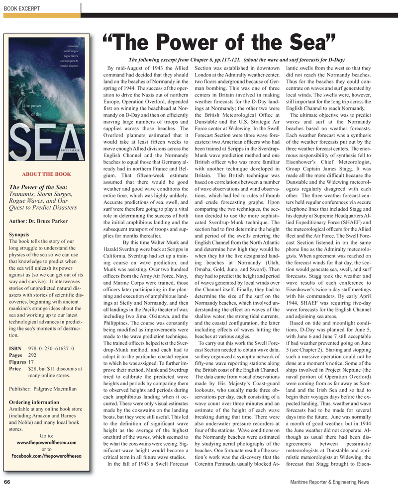
The Power of the Sea:
Tsunamis, Storm Surges,
Rogue Waves, and Our
Quest to Predict Disasters
Author: Dr. Bruce Parker
Synopsis
The book tells the story of our long struggle to understand the physics of the sea so we can use that knowledge to predict when the sea will unleash its power against us (so we can get out of its way and survive). It interweaves stories of unpredicted natural dis- asters with stories of scientific dis- coveries, beginning with ancient mankind's strange ideas about the sea and working up to our latest technological advances in predict- ing the sea's moments of destruc- tion.
ISBN 978–0–230–61637–0
Pages 292
Figures 17
Price $28, but $11 discounts at many online stores.
Publisher: Palgrave Macmillan
Ordering information
Available at any online book store (including Amazon and Barnes and Noble) and many local book stores.
Go to: www.thepowerofthesea.com or to
Facebook.com/thepowerofthesea
The following excerpt from Chapter 6, pp.117-121. (about the wave and surf forecasts for D-Day)
