
Page 26: of Maritime Reporter Magazine (May 2015)
The Marine Propulsion Edition
Read this page in Pdf, Flash or Html5 edition of May 2015 Maritime Reporter Magazine
 25
25
 27
27
SATCOM & CYBER SECURITY
Threats to Global Navigation Satellite Systems
BY CAPT DAVID B. MOSKOFF & WILLIAM G. KAAG riginally developed to guide by objects often using radar images and
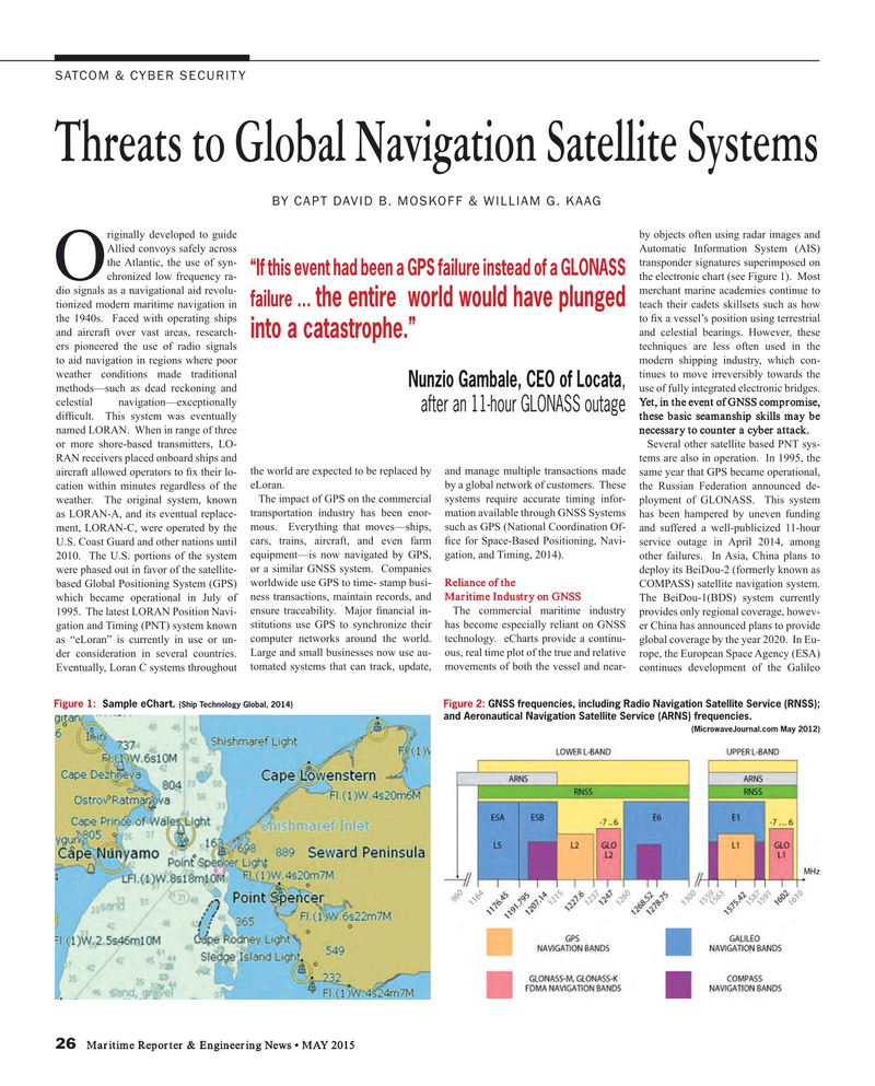
Allied convoys safely across Automatic Information System (AIS) the Atlantic, the use of syn- transponder signatures superimposed on “If this event had been a GPS failure instead of a GLONASS
O chronized low frequency ra- the electronic chart (see Figure 1). Most dio signals as a navigational aid revolu- merchant marine academies continue to the entire world would have plunged failure … tionized modern maritime navigation in teach their cadets skillsets such as how the 1940s. Faced with operating ships to ? x a vessel’s position using terrestrial and aircraft over vast areas, research- and celestial bearings. However, these into a catastrophe.” ers pioneered the use of radio signals techniques are less often used in the to aid navigation in regions where poor modern shipping industry, which con- weather conditions made traditional tinues to move irreversibly towards the
Nunzio Gambale, CEO of Locata, methods—such as dead reckoning and use of fully integrated electronic bridges. celestial navigation—exceptionally Yet, in the event of GNSS compromise, after an 11-hour GLONASS outage dif? cult. This system was eventually these basic seamanship skills may be named LORAN. When in range of three necessary to counter a cyber attack. or more shore-based transmitters, LO- Several other satellite based PNT sys-
RAN receivers placed onboard ships and tems are also in operation. In 1995, the aircraft allowed operators to ? x their lo- the world are expected to be replaced by and manage multiple transactions made same year that GPS became operational, cation within minutes regardless of the eLoran. by a global network of customers. These the Russian Federation announced de- weather. The original system, known The impact of GPS on the commercial systems require accurate timing infor- ployment of GLONASS. This system as LORAN-A, and its eventual replace- transportation industry has been enor- mation available through GNSS Systems has been hampered by uneven funding ment, LORAN-C, were operated by the mous. Everything that moves—ships, such as GPS (National Coordination Of- and suffered a well-publicized 11-hour
U.S. Coast Guard and other nations until cars, trains, aircraft, and even farm ? ce for Space-Based Positioning, Navi- service outage in April 2014, among 2010. The U.S. portions of the system equipment—is now navigated by GPS, gation, and Timing, 2014). other failures. In Asia, China plans to were phased out in favor of the satellite- or a similar GNSS system. Companies deploy its BeiDou-2 (formerly known as based Global Positioning System (GPS) worldwide use GPS to time- stamp busi- Reliance of the COMPASS) satellite navigation system. which became operational in July of ness transactions, maintain records, and Maritime Industry on GNSS The BeiDou-1(BDS) system currently 1995. The latest LORAN Position Navi- ensure traceability. Major ? nancial in- The commercial maritime industry provides only regional coverage, howev- gation and Timing (PNT) system known stitutions use GPS to synchronize their has become especially reliant on GNSS er China has announced plans to provide as “eLoran” is currently in use or un- computer networks around the world. technology. eCharts provide a continu- global coverage by the year 2020. In Eu- der consideration in several countries. Large and small businesses now use au- ous, real time plot of the true and relative rope, the European Space Agency (ESA)
Eventually, Loran C systems throughout tomated systems that can track, update, movements of both the vessel and near- continues development of the Galileo
Figure 1: Sample eChart. Figure 2: GNSS frequencies, including Radio Navigation Satellite Service (RNSS); (Ship Technology Global, 2014) and Aeronautical Navigation Satellite Service (ARNS) frequencies. (MicrowaveJournal.com May 2012) 26 Maritime Reporter & Engineering News • MAY 2015
MR #5 (26-33).indd 26 MR #5 (26-33).indd 26 4/30/2015 10:28:18 AM4/30/2015 10:28:18 AM
