
Page 18: of Marine Technology Magazine (Jun/Jul 2011)
Hydrographic Survey
Read this page in Pdf, Flash or Html5 edition of Jun/Jul 2011 Marine Technology Magazine
 17
17
 19
19
Easytrak Nexus Top
Marks for Accuracy
The Easytrak Nexus has been deployed on various subsea tracking surveys across the globe since its introduction in 2009 and is currently being used nearer to home during the geophysical survey of sections of
North Sea, close to shore. The
Geosurvey Department of Emu Ltd, a marine development, research and planning company based in
Southampton, UK, is using the
Applied Acoustics’ system on several high resolution Windfarm
Engineering and UXO (Unexploded ordnance) surveys off the East coast.
It is currently on the 12m vessel Emu
Surveyor, being used to track towed sensors in less than 5m of water. Two further Nexus systems are on hire for similar jobs, one on the 24m Survey vessel RV Discovery and one on a charted vessel Nabcat II.
Emu has found the Nexus system particularly reliable and accurate in shallow water environments com- pared to other USBL systems they have used, and have been impressed with the consistency of results. “We undertake a wide range of geo- physical and hydrographic surveys for a variety of customers including scour monitoring, pipeline surveys and ports and harbour surveys in addition to the Coastal Windfarm Engineering and UXO survey we are currently engaged in,” said Richard Hamilton,
Marine Geophysicist with Emu, “and of course in each case we always employ the latest technology from our survey vessels to provide cost effective world class results. The selec- tion of the Easytrak Nexus system for positioning and tracking towed sen- sors is yet another example of us sourcing the best kit available.”
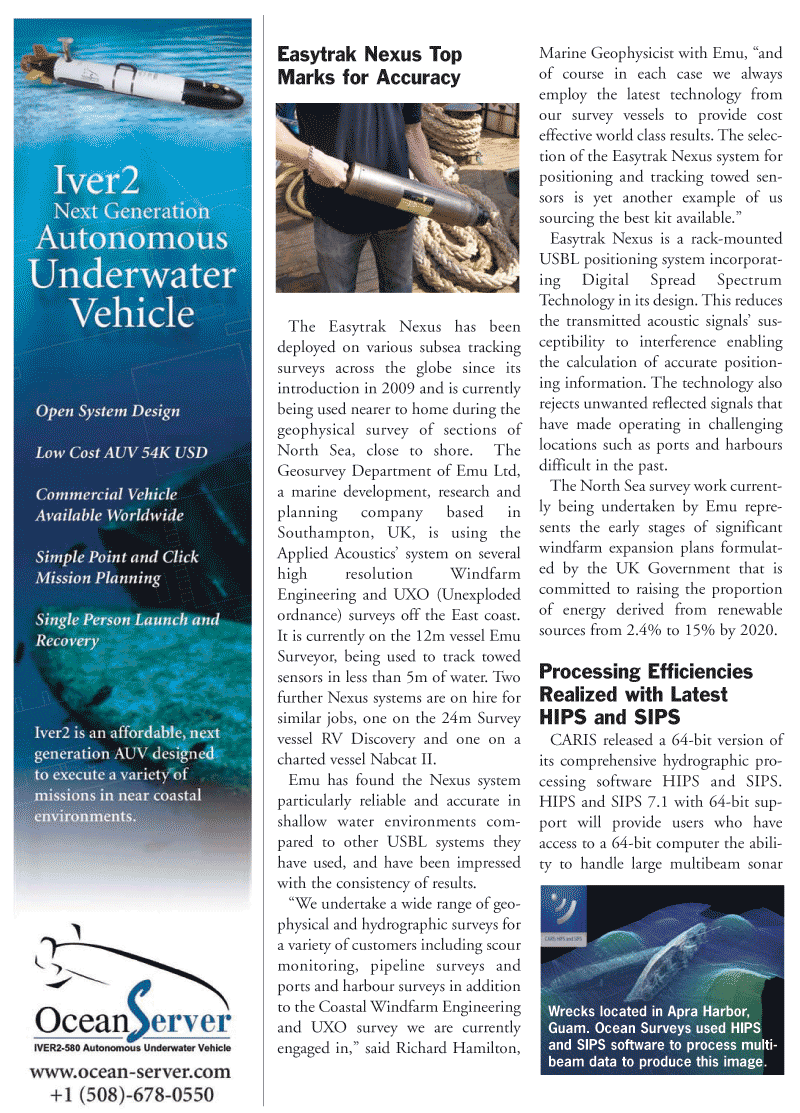
Easytrak Nexus is a rack-mounted
USBL positioning system incorporat- ing Digital Spread Spectrum
Technology in its design. This reduces the transmitted acoustic signals’ sus- ceptibility to interference enabling the calculation of accurate position- ing information. The technology also rejects unwanted reflected signals that have made operating in challenging locations such as ports and harbours difficult in the past.
The North Sea survey work current- ly being undertaken by Emu repre- sents the early stages of significant windfarm expansion plans formulat- ed by the UK Government that is committed to raising the proportion of energy derived from renewable sources from 2.4% to 15% by 2020.
Processing Efficiencies
Realized with Latest
HIPS and SIPS
CARIS released a 64-bit version of its comprehensive hydrographic pro- cessing software HIPS and SIPS.
HIPS and SIPS 7.1 with 64-bit sup- port will provide users who have access to a 64-bit computer the abili- ty to handle large multibeam sonar
Wrecks located in Apra Harbor,
Guam. Ocean Surveys used HIPS and SIPS software to process multi- beam data to produce this image.