Page 23: of Marine Technology Magazine (Apr/May 2018)
Offshore Geophysical
Read this page in Pdf, Flash or Html5 edition of Apr/May 2018 Marine Technology Magazine
 22
22
 24
24
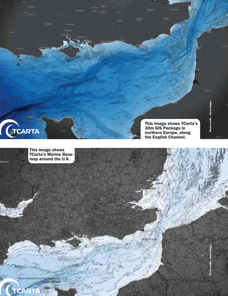
This image shows TCarta’s 30m GIS Package in northern Europe, along the English Channel.
This image shows
TCarta’s Marine Base- map around the U.K.
Photo credit - Aaron Sager Photo credit - Aaron Sager www.marinetechnologynews.com
Marine Technology Reporter 23
MTR #3 (18-33).indd 23 MTR #3 (18-33).indd 23 4/6/2018 8:15:55 PM4/6/2018 8:15:55 PM