
Page 24: of Marine Technology Magazine (Jan/Feb 2026)
Read this page in Pdf, Flash or Html5 edition of Jan/Feb 2026 Marine Technology Magazine
 23
23
 25
25
FEATURE GNSS-A SEAFLOOR MONITORING
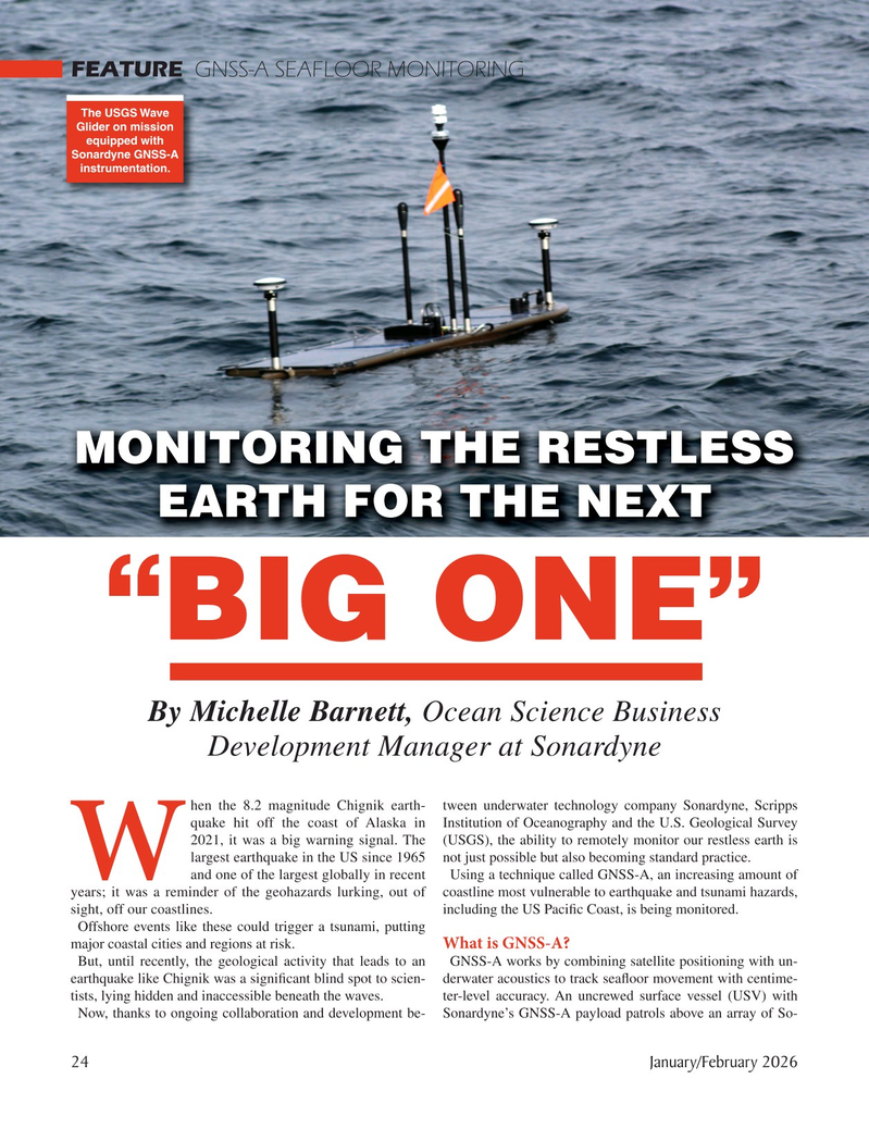
The USGS Wave
Glider on mission equipped with
Sonardyne GNSS-A instrumentation.
MONITORING THE RESTLESS
EARTH FOR THE NEXT “BIG ONE”
By Michelle Barnett, Ocean Science Business
Development Manager at Sonardyne hen the 8.2 magnitude Chignik earth- tween underwater technology company Sonardyne, Scripps quake hit off the coast of Alaska in Institution of Oceanography and the U.S. Geological Survey 2021, it was a big warning signal. The (USGS), the ability to remotely monitor our restless earth is largest earthquake in the US since 1965 not just possible but also becoming standard practice.
W and one of the largest globally in recent Using a technique called GNSS-A, an increasing amount of years; it was a reminder of the geohazards lurking, out of coastline most vulnerable to earthquake and tsunami hazards, sight, off our coastlines. including the US Paci? c Coast, is being monitored.
Offshore events like these could trigger a tsunami, putting
What is GNSS-A? major coastal cities and regions at risk.
But, until recently, the geological activity that leads to an GNSS-A works by combining satellite positioning with un- earthquake like Chignik was a signi? cant blind spot to scien- derwater acoustics to track sea? oor movement with centime- tists, lying hidden and inaccessible beneath the waves. ter-level accuracy. An uncrewed surface vessel (USV) with
Now, thanks to ongoing collaboration and development be- Sonardyne’s GNSS-A payload patrols above an array of So- 24 January/February 2026
MTR #1 (18-33).indd 24 MTR #1 (18-33).indd 24 2/11/2026 3:48:25 PM2/11/2026 3:48:25 PM