
Page 25: of Marine Technology Magazine (Jan/Feb 2026)
Read this page in Pdf, Flash or Html5 edition of Jan/Feb 2026 Marine Technology Magazine
 24
24
 26
26
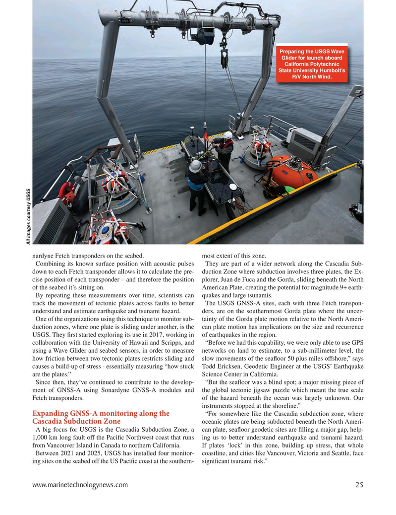
Preparing the USGS Wave
Glider for launch aboard
California Polytechnic
State University Humbolt’s
R/V North Wind.
All images courtesy USGS nardyne Fetch transponders on the seabed. most extent of this zone.
Combining its known surface position with acoustic pulses They are part of a wider network along the Cascadia Sub- down to each Fetch transponder allows it to calculate the pre- duction Zone where subduction involves three plates, the Ex- cise position of each transponder – and therefore the position plorer, Juan de Fuca and the Gorda, sliding beneath the North of the seabed it’s sitting on. American Plate, creating the potential for magnitude 9+ earth-
By repeating these measurements over time, scientists can quakes and large tsunamis. track the movement of tectonic plates across faults to better The USGS GNSS-A sites, each with three Fetch transpon- understand and estimate earthquake and tsunami hazard. ders, are on the southernmost Gorda plate where the uncer-
One of the organizations using this technique to monitor sub- tainty of the Gorda plate motion relative to the North Ameri- duction zones, where one plate is sliding under another, is the can plate motion has implications on the size and recurrence
USGS. They