
Page 56: of Maritime Reporter Magazine (July 2018)
Marine Communications Edition
Read this page in Pdf, Flash or Html5 edition of July 2018 Maritime Reporter Magazine
 55
55
 57
57
SOFTWARE SOLUTIONS fuel, ? nancial and accounting services, com Dynamics or it can be derived from and dry-docking and special survey satellite (GNSS) positioning data from commissioning. PPU’s such as the company’s GyroPi- iMarine Software is the company man- lot Plus, ChannelPilot and HarbourPilot aging the SeaProc cloud-based e-com- systems.
merce solution, which connects ship- Raw position derived from GNSS owners and operators with more than satellites via a high-quality receiver is 50,000 maritime suppliers worldwide: usually accurate to about 2 m (6.5 feet). the trading platform uses the latest tech- While this level of accuracy works to nologies to manage supply chain trans- support some maneuvers, other ship actions in a robust, scalable and secure handling operations require more accu- environment hosted by Amazon Web rate position data. Corrections can be ap-
Services. iMarine Software is based in plied to GNSS receivers to improve their
New York, USA and has regional of? ces accuracy. These corrections are derived in Hamburg, Germany; Istanbul, Turkey; from ground-based base stations that ob- and Manila, Philippines. serve differences in calculated position www.imarinesoftware.com (caused by atmospheric interference and timing errors) and deliver these to GNSS receivers using the following methods:
Satellite-based augmentation services
TrueProp for Prop Repair (SBAS) is a freely available satellite-
Propellers are not perfect and the main based correction technology made avail- in? uence on propeller preformance are able by various countries but is normally the geometric deviations between blades. limited in its footprint (usually to the
TrueProp Software, LLC has developed country it is launched from). These geo-
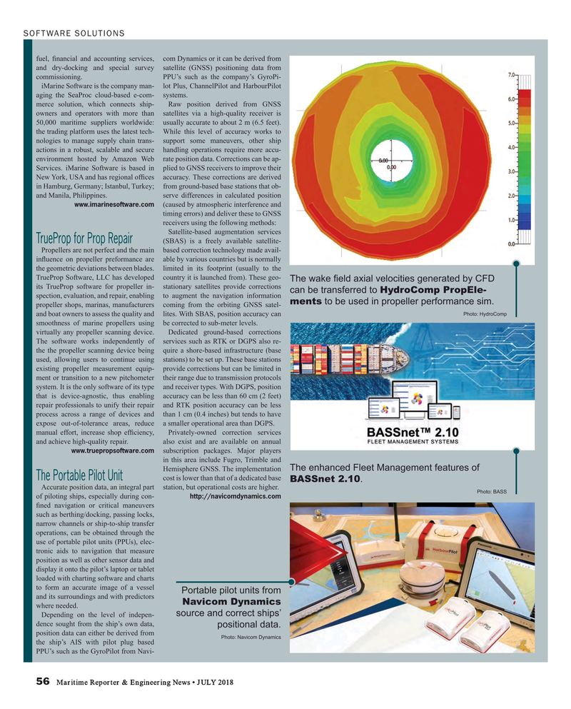
The wake ? eld axial velocities generated by CFD its TrueProp software for propeller in- stationary satellites provide corrections can be transferred to HydroComp PropEle- spection, evaluation, and repair, enabling to augment the navigation information ments to be used in propeller performance sim.
propeller shops, marinas, manufacturers coming from the orbiting GNSS satel-
Photo: HydroComp and boat owners to assess the quality and lites. With SBAS, position accuracy can smoothness of marine propellers using be corrected to sub-meter levels. virtually any propeller scanning device. Dedicated ground-based corrections
The software works independently of services such as RTK or DGPS also re- the the propeller scanning device being quire a shore-based infrastructure (base used, allowing users to continue using stations) to be set up. These base stations existing propeller measurement equip- provide corrections but can be limited in ment or transition to a new pitchometer their range due to transmission protocols system. It is the only software of its type and receiver types. With DGPS, position that is device-agnostic, thus enabling accuracy can be less than 60 cm (2 feet) repair professionals to unify their repair and RTK position accuracy can be less process across a range of devices and than 1 cm (0.4 inches) but tends to have expose out-of-tolerance areas, reduce a smaller operational area than DGPS.
manual effort, increase shop ef? ciency, Privately-owned correction services and achieve high-quality repair. also exist and are available on annual www.truepropsoftware.com subscription packages. Major players in this area include Fugro, Trimble and
The enhanced Fleet Management features of
Hemisphere GNSS. The implementation
The Portable Pilot Unit cost is lower than that of a dedicated base
BASSnet 2.10.
Accurate position data, an integral part station, but operational costs are higher.
Photo: BASS of piloting ships, especially during con- http://navicomdynamics.com ? ned navigation or critical maneuvers such as berthing/docking, passing locks, narrow channels or ship-to-ship transfer operations, can be obtained through the use of portable pilot units (PPUs), elec- tronic aids to navigation that measure position as well as other sensor data and display it onto the pilot’s laptop or tablet loaded with charting software and charts to form an accurate image of a vessel
Portable pilot units from and its surroundings and with predictors
Navicom Dynamics where needed.
source and correct ships’
Depending on the level of indepen- dence sought from the ship’s own data, positional data.
position data can either be derived from
Photo: Navicom Dynamics the ship’s AIS with pilot plug based
PPU’s such as the GyroPilot from Navi- 56 Maritime Reporter & Engineering News • JULY 2018
MR #7 (50-57).indd 56 MR #7 (50-57).indd 56 7/6/2018 11:48:42 AM7/6/2018 11:48:42 AM
