Page 35: of Marine Technology Magazine (October 2010)
Ocean Engineering & Design
Read this page in Pdf, Flash or Html5 edition of October 2010 Marine Technology Magazine
www.seadiscovery.com Marine Technology Reporter 35
The Panama Canal Authority completed the first round of tests in the installation of its new Electronic
Navigational Chart (ENC) system using CARIS software at the Simulation Center, Research and Development Maritime in
Panama. This new system will be designed to make navigation in the
Panama Canal both safer and more efficient. Currently the Panama Canal carries around 13,000 oceangoing transits per year with a total weight of 300 million tons; close to capacity for the canal. In addition to aiding navi- gation, the new system is designed to enhance maritime security, as well as providing more car- tographic information, allowing greater precision when navigating through the waterway.
The Panama Canal Authority worked in close partner- ship with CARIS to provide the data components of the cartographic database of the Panama Canal. This includ- ed information relating to the new locks and the depths of the various areas of the sea route. CARIS provided the training and support to fully utilize the selected CARIS software. The
Panama Canal Authority acquired
BASE Editor for the creation and management of bathymetric surfaces and S-57 Composer for the produc- tion of ENC’s. The project entailed the creation of two main electronic charts: one for the Atlantic coast and one for the Pacific coast, as well as other more specific cartographic prod- ucts within the canal. These ENC’s are initially being used in a simulator as part of the training program for the canal pilots. In the future the ENC’s will be mandatory for any vessels approaching or intending to transit the canal.
Email: alex.palmer@ caris.com
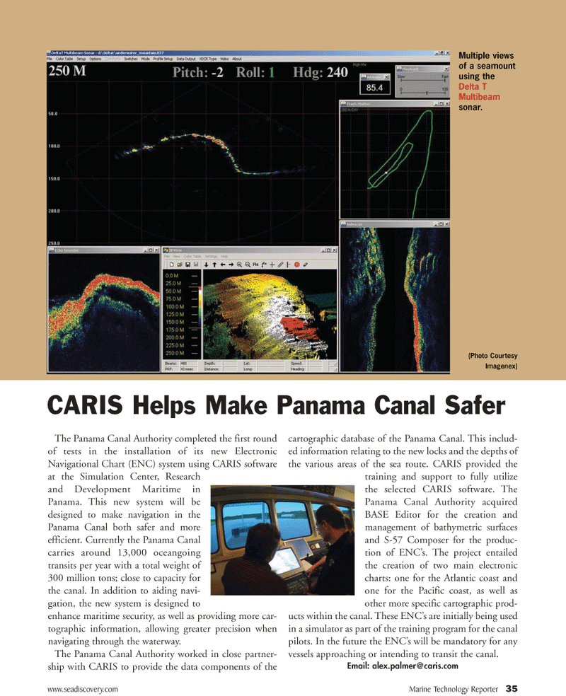
Multiple views of a seamount using the
Delta T
Multibeam sonar. (Photo Courtesy
Imagenex)
CARIS Helps Make Panama Canal Safer

 34
34

 36
36
