Page 22: of Marine Technology Magazine (May 2012)
Hydrographic Survey
Read this page in Pdf, Flash or Html5 edition of May 2012 Marine Technology Magazine
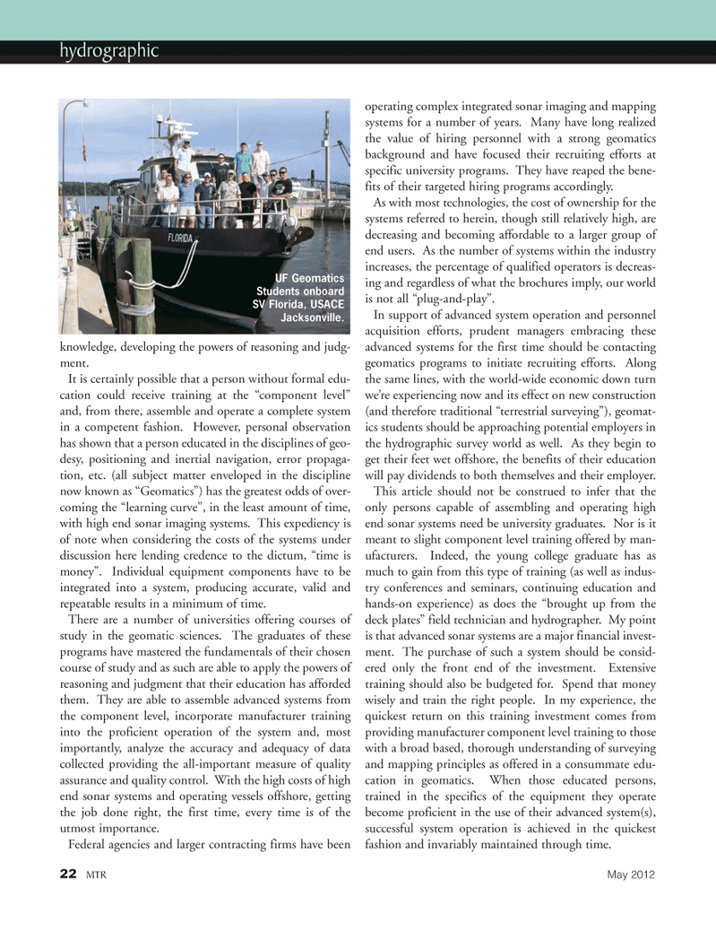
knowledge, developing the powers of reasoning and judg- ment.It is certainly possible that a person without formal edu- cation could receive training at the ?component level? and, from there, assemble and operate a complete system in a competent fashion. However, personal observation has shown that a person educated in the disciplines of geo- desy, positioning and inertial navigation, error propaga- tion, etc. (all subject matter enveloped in the discipline now known as ?Geomatics?) has the greatest odds of over- coming the ?learning curve?, in the least amount of time, with high end sonar imaging systems. This expediency is of note when considering the costs of the systems underdiscussion here lending credence to the dictum, ?time is money?. Individual equipment components have to be integrated into a system, producing accurate, valid and repeatable results in a minimum of time. There are a number of universities offering courses of study in the geomatic sciences. The graduates of these programs have mastered the fundamentals of their chosen course of study and as such are able to apply the powers of reasoning and judgment that their education has afforded them. They are able to assemble advanced systems from the component level, incorporate manufacturer training into the proficient operation of the system and, most importantly, analyze the accuracy and adequacy of data collected providing the all-important measure of quality assurance and quality control. With the high costs of high end sonar systems and operating vessels offshore, getting the job done right, the first time, every time is of the utmost importance. Federal agencies and larger contracting firms have been operating complex integrated sonar imaging and mappingsystems for a number of years. Many have long realized the value of hiring personnel with a strong geomatics background and have focused their recruiting efforts at specific university programs. They have reaped the bene- fits of their targeted hiring programs accordingly. As with most technologies, the cost of ownership for the systems referred to herein, though still relatively high, are decreasing and becoming affordable to a larger group of end users. As the number of systems within the industry increases, the percentage of qualified operators is decreas- ing and regardless of what the brochures imply, our world is not all ?plug-and-play?. In support of advanced system operation and personnel acquisition efforts, prudent managers embracing these advanced systems for the first time should be contacting geomatics programs to initiate recruiting efforts. Along the same lines, with the world-wide economic down turn we?re experiencing now and its effect on new construction (and therefore traditional ?terrestrial surveying?), geomat- ics students should be approaching potential employers in the hydrographic survey world as well. As they begin to get their feet wet offshore, the benefits of their education will pay dividends to both themselves and their employer. This article should not be construed to infer that the only persons capable of assembling and operating highend sonar systems need be university graduates. Nor is it meant to slight component level training offered by man- ufacturers. Indeed, the young college graduate has as much to gain from this type of training (as well as indus- try conferences and seminars, continuing education and hands-on experience) as does the ?brought up from the deck plates? field technician and hydrographer. My point is that advanced sonar systems are a major financial invest- ment. The purchase of such a system should be consid- ered only the front end of the investment. Extensive training should also be budgeted for. Spend that money wisely and train the right people. In my experience, the quickest return on this training investment comes from providing manufacturer component level training to those with a broad based, thorough understanding of surveying and mapping principles as offered in a consummate edu- cation in geomatics. When those educated persons, trained in the specifics of the equipment they operatebecome proficient in the use of their advanced system(s), successful system operation is achieved in the quickest fashion and invariably maintained through time. 22MTRMay 2012hydrographic UF GeomaticsStudents onboard SV Florida, USACEJacksonville.MTR#4 (18-33):MTR Layouts 5/4/2012 2:34 PM Page 22

 21
21

 23
23
