Page 17: of Marine Technology Magazine (Nov/Dec 2013)
Fresh Water Monitoring & Sensors
Read this page in Pdf, Flash or Html5 edition of Nov/Dec 2013 Marine Technology Magazine
 16
16
 18
18
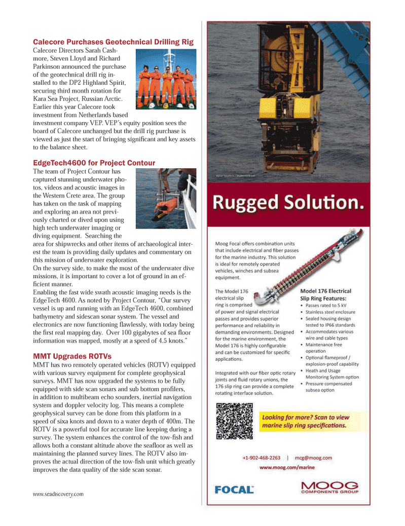
Calecore Purchases Geotechnical Drilling Rig Calecore Directors Sarah Cash-more, Steven Lloyd and Richard Parkinson announced the purchase of the geotechnical drill rig in-stalled to the DP2 Highland Spirit, securing third month rotation for Kara Sea Project, Russian Arctic. Earlier this year Calecore took investment from Netherlands based investment company VEP. VEP?s equity position sees the board of Calecore unchanged but the drill rig purchase is viewed as just the start of bringing signi cant and key assets to the balance sheet. EdgeTech4600 for Project Contour The team of Project Contour has captured stunning underwater pho- tos, videos and acoustic images in the Western Crete area. The group has taken on the task of mapping and exploring an area not previ- ously charted or dived upon using high tech underwater imaging or diving equipment. Searching the area for shipwrecks and other items of archaeological inter- est the team is providing daily updates and commentary on this mission of underwater exploration. On the survey side, to make the most of the underwater dive missions, it is important to cover a lot of ground in an ef- cient manner. Enabling the fast wide swath acoustic imaging needs is the EdgeTech 4600. As noted by Project Contour, ?Our survey vessel is up and running with an EdgeTech 4600, combined bathymetry and sidescan sonar system. The vessel and electronics are now functioning awlessly, with today being the rst real mapping day. Over 100 gigabytes of sea oor information was mapped, mostly at a speed of 4.5 knots.? MMT Upgrades ROTVs MMT has two remotely operated vehicles (ROTV) equipped with various survey equipment for complete geophysical surveys. MMT has now upgraded the systems to be fully equipped with side scan sonars and sub bottom pro lers, in addition to multibeam echo sounders, inertial navigation system and doppler velocity log. This means a complete geophysical survey can be done from this platform in a speed of sixa knots and down to a water depth of 400m. The ROTV is a powerful tool for accurate line keeping during a survey. The system enhances the control of the tow- sh and allows both a constant altitude above the sea oor as well as maintaining the planned survey lines. The ROTV also im- proves the actual direction of the tow- sh unit which greatly improves the data quality of the side scan sonar. www.seadiscovery.com MTR #9 (1-17).indd 17MTR #9 (1-17).indd 1712/13/2013 10:24:21 AM12/13/2013 10:24:21 AM