Page 91: of Marine Technology Magazine (March 2014)
Instrumentation: Measurement, Process & Analysis
Read this page in Pdf, Flash or Html5 edition of March 2014 Marine Technology Magazine
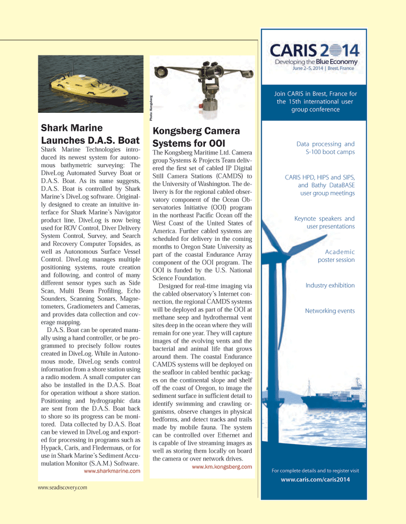
For complete details and to register visit www.caris.com/caris2014 Data processing and S-100 boot campsCARIS HPD, HIPS and SIPS, and Bathy DataBASE user group meetings Keynote speakers and user presentations Academic poster session Industry exhibition Networking events Join CARIS in Brest, France for the 15th international user group conference Kongsberg Camera Systems for OOI The Kongsberg Maritime Ltd. Camera group Systems & Projects Team deliv- ered the Þ rst set of cabled IP Digital Still Camera Stations (CAMDS) to the University of Washington. The de- livery is for the regional cabled obser- vatory component of the Ocean Ob- servatories Initiative (OOI) program in the northeast PaciÞ c Ocean off the West Coast of the United States of America. Further cabled systems are scheduled for delivery in the coming months to Oregon State University as part of the coastal Endurance Array component of the OOI program. The OOI is funded by the U.S. National Science Foundation. Designed for real-time imaging via the cabled observatoryÕs Internet con- nection, the regional CAMDS systems will be deployed as part of the OOI at methane seep and hydrothermal vent sites deep in the ocean where they will remain for one year. They will capture images of the evolving vents and the bacterial and animal life that grows around them. The coastal Endurance CAMDS systems will be deployed on the seaß oor in cabled benthic packag- es on the continental slope and shelf off the coast of Oregon, to image the sediment surface in sufÞ cient detail to identify swimming and crawling or- ganisms, observe changes in physical bedforms, and detect tracks and trails made by mobile fauna. The system can be controlled over Ethernet and is capable of live streaming images as well as storing them locally on board the camera or over network drives. www.km.kongsberg.com Shark Marine Launches D.A.S. Boat Shark Marine Technologies intro- duced its newest system for autono- mous bathymetric surveying: The DiveLog Automated Survey Boat or D.A.S. Boat. As its name suggests, D.A.S. Boat is controlled by Shark MarineÕs DiveLog software. Original- ly designed to create an intuitive in- terface for Shark MarineÕs Navigator product line, DiveLog is now being used for ROV Control, Diver Delivery System Control, Survey, and Search and Recovery Computer Topsides, as well as Autonomous Surface Vessel Control. DiveLog manages multiple positioning systems, route creation and following, and control of many different sensor types such as Side Scan, Multi Beam ProÞ ling, Echo Sounders, Scanning Sonars, Magne-tometers, Gradiometers and Cameras, and provides data collection and cov- erage mapping.D.A.S. Boat can be operated manu-ally using a hand controller, or be pro- grammed to precisely follow routes created in DiveLog. While in Autono- mous mode, DiveLog sends control information from a shore station using a radio modem. A small computer can also be installed in the D.A.S. Boat for operation without a shore station. Positioning and hydrographic data are sent from the D.A.S. Boat back to shore so its progress can be moni-tored. Data collected by D.A.S. Boat can be viewed in DiveLog and export- ed for processing in programs such as Hypack, Caris, and Fledermaus, or for use in Shark MarineÕs Sediment Accu- mulation Monitor (S.A.M.) Software. www.sharkmarine.com Photo: Kongsberg www.seadiscovery.com MTR #2 (82-96).indd 91MTR #2 (82-96).indd 912/22/2014 2:22:06 PM2/22/2014 2:22:06 PM

 90
90

 92
92
