Page 53: of Marine Technology Magazine (November 2014)
Fresh Water Monitoring & Senors
Read this page in Pdf, Flash or Html5 edition of November 2014 Marine Technology Magazine
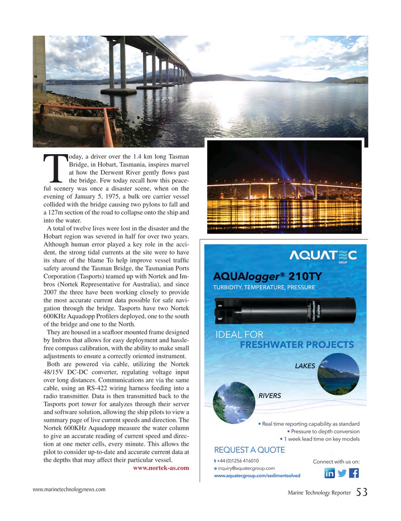
oday, a driver over the 1.4 km long Tasman
Bridge, in Hobart, Tasmania, inspires marvel at how the Derwent River gently ? ows past
Tthe bridge. Few today recall how this peace- ful scenery was once a disaster scene, when on the evening of January 5, 1975, a bulk ore carrier vessel collided with the bridge causing two pylons to fall and a 127m section of the road to collapse onto the ship and into the water.
A total of twelve lives were lost in the disaster and the
Hobart region was severed in half for over two years.
Although human error played a key role in the acci- dent, the strong tidal currents at the site were to have its share of the blame To help improve vessel traf? c safety around the Tasman Bridge, the Tasmanian Ports
Corporation (Tasports) teamed up with Nortek and Im- bros (Nortek Representative for Australia), and since 2007 the three have been working closely to provide the most accurate current data possible for safe navi- gation through the bridge. Tasports have two Nortek 600KHz Aquadopp Pro? lers deployed, one to the south of the bridge and one to the North.
They are housed in a sea? oor mounted frame designed by Imbros that allows for easy deployment and hassle- free compass calibration, with the ability to make small adjustments to ensure a correctly oriented instrument.
Both are powered via cable, utilizing the Nortek 48/15V DC-DC converter, regulating voltage input over long distances. Communications are via the same cable, using an RS-422 wiring harness feeding into a radio transmitter. Data is then transmitted back to the
Tasports port tower for analyzes through their server and software solution, allowing the ship pilots to view a summary page of live current speeds and direction. The
Nortek 600KHz Aquadopp measure the water column to give an accurate reading of current speed and direc- tion at one meter cells, every minute. This allows the pilot to consider up-to-date and accurate current data at the depths that may affect their particular vessel.
www.nortek-as.com www.marinetechnologynews.com
Marine Technology Reporter 53
MTR #9 (50-64).indd 53 MTR #9 (50-64).indd 53 12/10/2014 4:47:53 PM12/10/2014 4:47:53 PM

 52
52

 54
54
