
Page 58: of Marine Technology Magazine (March 2017)
Oceanographic Instrumentation: Measurement, Process & Analysis
Read this page in Pdf, Flash or Html5 edition of March 2017 Marine Technology Magazine
 57
57
 59
59
Sonar & Seafloor Mapping
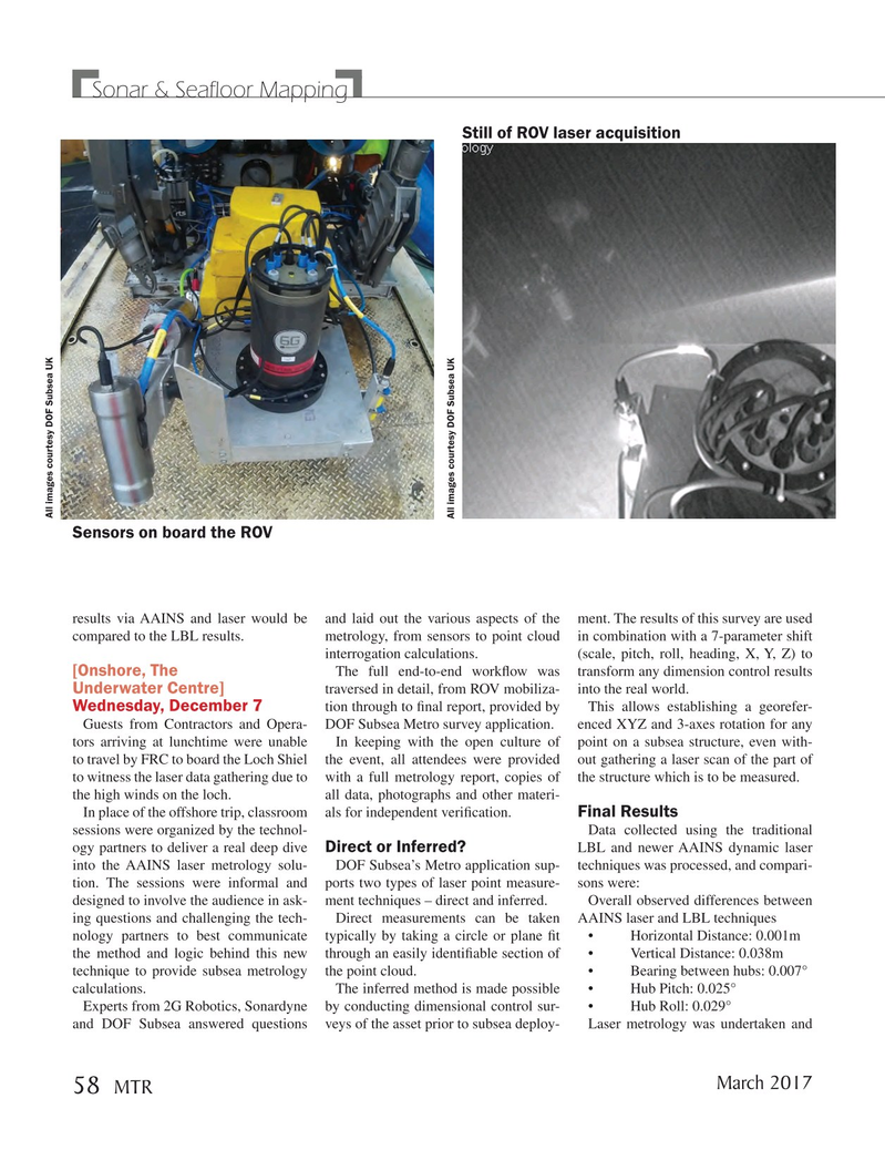
Still of ROV laser acquisition
All images courtesy DOF Subsea UK
All images courtesy DOF Subsea UK
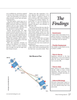
Sensors on board the ROV results via AAINS and laser would be and laid out the various aspects of the ment. The results of this survey are used compared to the LBL results. metrology, from sensors to point cloud in combination with a 7-parameter shift interrogation calculations. (scale, pitch, roll, heading, X, Y, Z) to [Onshore, The
The full end-to-end work? ow was transform any dimension control results
Underwater Centre] traversed in detail, from ROV mobiliza- into the real world.
Wednesday, December 7 tion through to ? nal report, provided by This allows establishing a georefer-
Guests from Contractors and Opera- DOF Subsea Metro survey application. enced XYZ and 3-axes rotation for any tors arriving at lunchtime were unable In keeping with the open culture of point on a subsea structure, even with- to travel by FRC to board the Loch Shiel the event, all attendees were provided out gathering a laser scan of the part of to witness the laser data gathering due to with a full metrology report, copies of the structure which is to be measured.
the high winds on the loch. all data, photographs and other materi-
Final Results
In place of the offshore trip, classroom als for independent veri? cation.
sessions were organized by the technol- Data collected using the traditional
Direct or Inferred?
ogy partners to deliver a real deep dive LBL and newer AAINS dynamic laser into the AAINS laser metrology solu- DOF Subsea’s Metro application sup- techniques was processed, and compari- tion. The sessions were informal and ports two types of laser point measure- sons were: designed to involve the audience in ask- ment techniques – direct and inferred. Overall observed differences between ing questions and challenging the tech- Direct measurements can be taken AAINS laser and LBL techniques nology partners to best communicate typically by taking a circle or plane ? t • Horizontal Distance: 0.001m the method and logic behind this new through an easily identi? able section of • Vertical Distance: 0.038m technique to provide subsea metrology the point cloud. • Bearing between hubs: 0.007° calculations. The inferred method is made possible • Hub Pitch: 0.025°
Experts from 2G Robotics, Sonardyne by conducting dimensional control sur- • Hub Roll: 0.029° and DOF Subsea answered questions veys of the asset prior to subsea deploy- Laser metrology was undertaken and
March 2017 58
MTR
MTR #2 (50-65).indd 58 MTR #2 (50-65).indd 58 3/1/2017 10:22:21 AM3/1/2017 10:22:21 AM