Page 36: of Marine Technology Magazine (June 2020)
Read this page in Pdf, Flash or Html5 edition of June 2020 Marine Technology Magazine
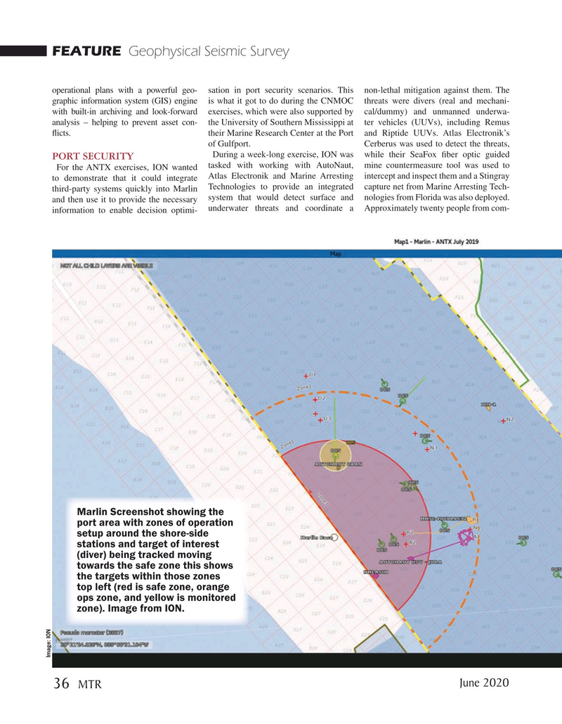
FEATURE Geophysical Seismic Survey operational plans with a powerful geo- sation in port security scenarios. This non-lethal mitigation against them. The graphic information system (GIS) engine is what it got to do during the CNMOC threats were divers (real and mechani- with built-in archiving and look-forward exercises, which were also supported by cal/dummy) and unmanned underwa- analysis – helping to prevent asset con- the University of Southern Mississippi at ter vehicles (UUVs), including Remus ficts. their Marine Research Center at the Port and Riptide UUVs. Atlas Electronik’s of Gulfport. Cerberus was used to detect the threats,
During a week-long exercise, ION was while their SeaFox fber optic guided port Security
For the ANTX exercises, ION wanted tasked with working with AutoNaut, mine countermeasure tool was used to to demonstrate that it could integrate Atlas Electronik and Marine Arresting intercept and inspect them and a Stingray third-party systems quickly into Marlin Technologies to provide an integrated capture net from Marine Arresting Tech- and then use it to provide the necessary system that would detect surface and nologies from Florida was also deployed. underwater threats and coordinate a Approximately twenty people from com- information to enable decision optimi-
Marlin Screenshot showing the port area with zones of operation setup around the shore-side stations and target of interest (diver) being tracked moving towards the safe zone this shows the targets within those zones top left (red is safe zone, orange ops zone, and yellow is monitored zone). Image from ION.
Image: ION
June 2020 36
MTR

 35
35

 37
37
