
Page 46: of Marine Technology Magazine (May 2021)
Hydrographic Survey Sonar
Read this page in Pdf, Flash or Html5 edition of May 2021 Marine Technology Magazine
 45
45
 47
47
WEATHER SPOTTING
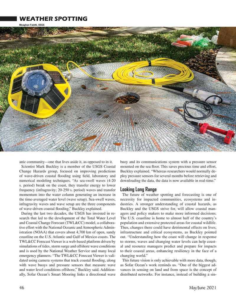
Meaghan Faletti, USGS anic community—one that lives aside it, as opposed to in it. buoy and its communications system with a pressure sensor
Scientist Mark Buckley is a member of the USGS Coastal mounted on the sea ? oor. This saves precious time and effort,
Change Hazards group, focused on improving predictions Buckley explained. “Whereas researchers would normally de- of wave-driven coastal ? ooding using ? eld, laboratory and ploy pressure sensors for several months before retrieving and numerical modeling techniques. “As sea-swell waves (4-20 downloading the data, the data is now available in real-time.” s. period) break on the coast, they transfer energy to lower frequency (infragravity; 20-250 s. period) waves and transfer Looking Long Range momentum into the water column generating an increase in The future of weather spotting and forecasting is one of the time-averaged water level (wave setup). Sea-swell waves, necessity for impacted communities, ecosystems and in- infragravity waves and wave setup are the three components dustries. A stronger understanding of coastal hazards, as of wave-driven coastal ? ooding,” Buckley explained. Buckley and the USGS strive for, will allow coastal man-
During the last two decades, the USGS has invested in re- agers and policy makers to make more informed decisions. search that led to the development of the Total Water Level The U.S. coastline is home to almost half of the country’s and Coastal Change Forecast (TWL&CC) model, a collabora- population and extensive protected areas for coastal wildlife. tive effort with the National Oceanic and Atmospheric Admin- Thus, changes there could have detrimental effects on lives, istration (NOAA) that covers about 4,700 km of open, sandy infrastructure and critical ecosystems, as Buckley pointed coastline on the U.S. Atlantic and Gulf of Mexico coasts. The out. “Understanding how the coast will change in response
TWL&CC Forecast Viewer is a web-based platform driven by to storms, waves and changing water levels can help coast- simulations of tides, storm surge and offshore wave conditions al and resource managers predict and prepare for impacts and is used by the National Weather Service and many local to their coastal areas, enhancing resiliency in the face of a emergency planners. “The TWL&CC Forecast Viewer is vali- changing world.” dated using camera systems that track coastal ? ooding, along This future vision is only achievable with more data, though, with wave buoys and pressure sensors that measure wave as Sofar Ocean’s work reminds us. “One of the biggest ad- and water level conditions offshore,” Buckley said. Addition- vances in sensing on land and from space is the concept of ally, Sofar Ocean’s Smart Mooring links a directional wave distributed networks. For instance, instead of building a sin- 46 May/June 2021
MTR #4 (34-49).indd 46 5/27/2021 1:20:07 PM