Page 69: of Marine Technology Magazine (September 2021)
MTR100: Focus on 100 Leading Companies, People and Innovations in the Subsea Space
Read this page in Pdf, Flash or Html5 edition of September 2021 Marine Technology Magazine
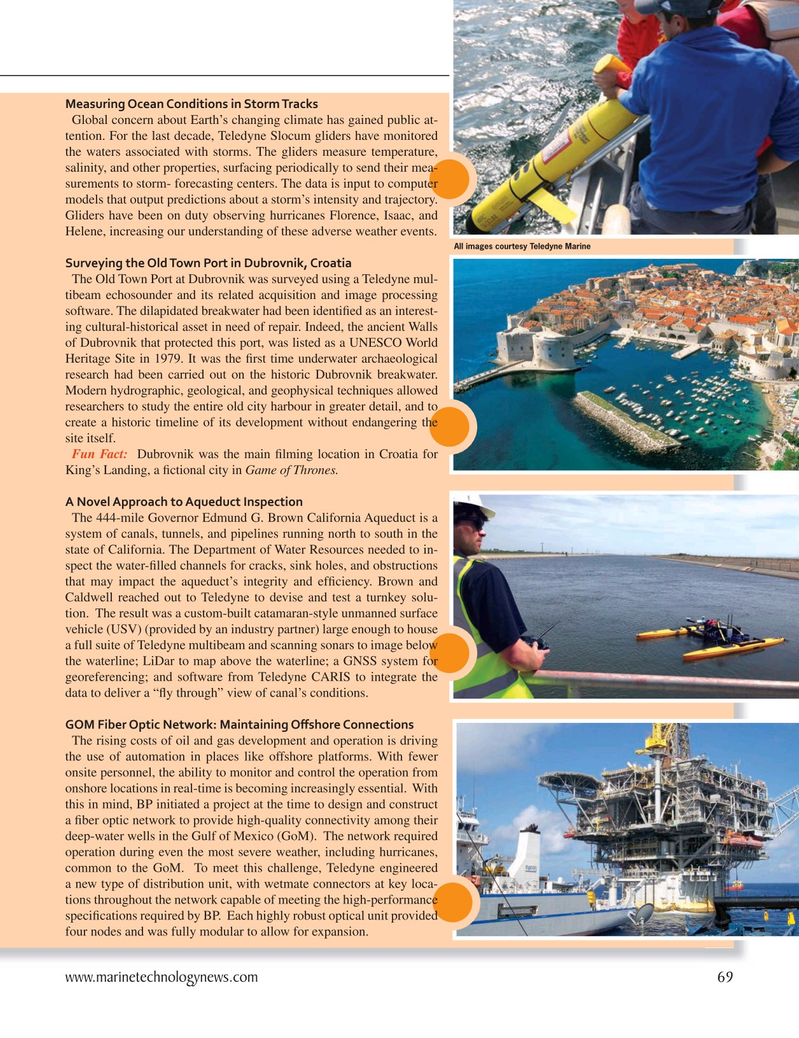
Measuring Ocean Conditions in Storm Tracks
Global concern about Earth’s changing climate has gained public at- tention. For the last decade, Teledyne Slocum gliders have monitored the waters associated with storms. The gliders measure temperature, salinity, and other properties, surfacing periodically to send their mea- surements to storm- forecasting centers. The data is input to computer models that output predictions about a storm’s intensity and trajectory.
Gliders have been on duty observing hurricanes Florence, Isaac, and
Helene, increasing our understanding of these adverse weather events.
All images courtesy Teledyne Marine
Surveying the Old Town Port in Dubrovnik, Croatia
The Old Town Port at Dubrovnik was surveyed using a Teledyne mul- tibeam echosounder and its related acquisition and image processing software. The dilapidated breakwater had been identi? ed as an interest- ing cultural-historical asset in need of repair. Indeed, the ancient Walls of Dubrovnik that protected this port, was listed as a UNESCO World
Heritage Site in 1979. It was the ? rst time underwater archaeological research had been carried out on the historic Dubrovnik breakwater.
Modern hydrographic, geological, and geophysical techniques allowed researchers to study the entire old city harbour in greater detail, and to create a historic timeline of its development without endangering the site itself.
Fun Fact: Dubrovnik was the main ? lming location in Croatia for
King’s Landing, a ? ctional city in Game of Thrones.
A Novel Approach to Aqueduct Inspection
The 444-mile Governor Edmund G. Brown California Aqueduct is a system of canals, tunnels, and pipelines running north to south in the state of California. The Department of Water Resources needed to in- spect the water-? lled channels for cracks, sink holes, and obstructions that may impact the aqueduct’s integrity and ef? ciency. Brown and
Caldwell reached out to Teledyne to devise and test a turnkey solu- tion. The result was a custom-built catamaran-style unmanned surface vehicle (USV) (provided by an industry partner) large enough to house a full suite of Teledyne multibeam and scanning sonars to image below the waterline; LiDar to map above the waterline; a GNSS system for georeferencing; and software from Teledyne CARIS to integrate the data to deliver a “? y through” view of canal’s conditions.
GOM Fiber Optic Network: Maintaining O? shore Connections
The rising costs of oil and gas development and operation is driving the use of automation in places like offshore platforms. With fewer onsite personnel, the ability to monitor and control the operation from onshore locations in real-time is becoming increasingly essential. With this in mind, BP initiated a project at the time to design and construct a ? ber optic network to provide high-quality connectivity among their deep-water wells in the Gulf of Mexico (GoM). The network required operation during even the most severe weather, including hurricanes, common to the GoM. To meet this challenge, Teledyne engineered a new type of distribution unit, with wetmate connectors at key loca- tions throughout the network capable of meeting the high-performance speci? cations required by BP. Each highly robust optical unit provided four nodes and was fully modular to allow for expansion. www.marinetechnologynews.com 69
MTR #7 (66-79).indd 69 9/22/2021 10:01:09 AM

 68
68

 70
70
