Page 24: of Marine Technology Magazine (November 2023)
Read this page in Pdf, Flash or Html5 edition of November 2023 Marine Technology Magazine
SEAFLOOR MAPPING & DEEP TREKKER ROVS [SPONSORED]
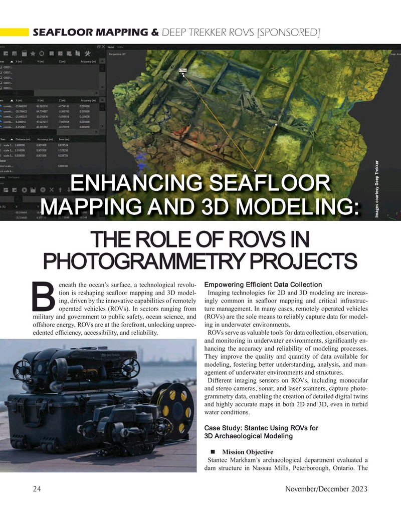
ENHANCING SEAFLOOR
MAPPING AND 3D MODELING:
Images courtesy Deep Trekker
THE ROLE OF ROVS IN
PHOTOGRAMMETRY PROJECTS eneath the ocean’s surface, a technological revolu- Empowering Ef? cient Data Collection tion is reshaping sea? oor mapping and 3D model- Imaging technologies for 2D and 3D modeling are increas- ing, driven by the innovative capabilities of remotely ingly common in sea? oor mapping and critical infrastruc-
Boperated vehicles (ROVs). In sectors ranging from ture management. In many cases, remotely operated vehicles military and government to public safety, ocean science, and (ROVs) are the sole means to reliably capture data for model- offshore energy, ROVs are at the forefront, unlocking unprec- ing in underwater environments.
edented ef? ciency, accessibility, and reliability. ROVs serve as valuable tools for data collection, observation, and monitoring in underwater environments, signi? cantly en- hancing the accuracy and reliability of modeling processes.
They improve the quality and quantity of data available for modeling, fostering better understanding, analysis, and man- agement of underwater environments and structures.
Different imaging sensors on ROVs, including monocular and stereo cameras, sonar, and laser scanners, capture photo- grammetry data, enabling the creation of detailed digital twins and highly accurate maps in both 2D and 3D, even in turbid water conditions.
Case Study: Stantec Using ROVs for 3D Archaeological Modeling ? Mission Objective
Stantec Markham’s archaeological department evaluated a dam structure in Nassau Mills, Peterborough, Ontario. The 24 November/December 2023
MTR #8 (18-33).indd 24 11/28/2023 10:48:57 AM

 23
23

 25
25
