Page 51: of Marine Technology Magazine (September 2024)
Read this page in Pdf, Flash or Html5 edition of September 2024 Marine Technology Magazine
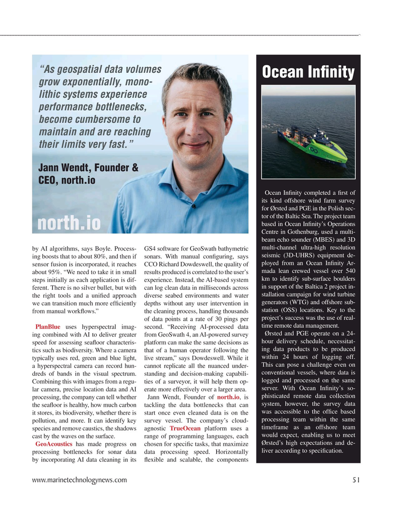
“As geospatial data volumes
Ocean In? nity grow exponentially, mono- lithic systems experience performance bottlenecks, become cumbersome to maintain and are reaching their limits very fast.”
Jann Wendt, Founder &
CEO, north.io
Ocean In? nity completed a ? rst of its kind offshore wind farm survey for Ørsted and PGE in the Polish sec- tor of the Baltic Sea. The project team based in Ocean In? nity’s Operations
Centre in Gothenburg, used a multi- beam echo sounder (MBES) and 3D multi-channel ultra-high resolution by AI algorithms, says Boyle. Process- GS4 software for GeoSwath bathymetric seismic (3D-UHRS) equipment de- ing boosts that to about 80%, and then if sonars. With manual con? guring, says ployed from an Ocean In? nity Ar- sensor fusion is incorporated, it reaches CCO Richard Dowdeswell, the quality of mada lean crewed vessel over 540 about 95%. “We need to take it in small results produced is correlated to the user’s km to identify sub-surface boulders steps initially as each application is dif- experience. Instead, the AI-based system in support of the Baltica 2 project in- ferent. There is no silver bullet, but with can log clean data in milliseconds across stallation campaign for wind turbine the right tools and a uni? ed approach diverse seabed environments and water generators (WTG) and offshore sub- we can transition much more ef? ciently depths without any user intervention in station (OSS) locations. Key to the from manual work? ows.” the cleaning process, handling thousands project’s success was the use of real- of data points at a rate of 30 pings per time remote data management.
PlanBlue uses hyperspectral imag- second. “Receiving AI-processed data
Ørsted and PGE operate on a 24- ing combined with AI to deliver greater from GeoSwath 4, an AI-powered survey hour delivery schedule, necessitat- speed for assessing sea? oor characteris- platform can make the same decisions as ing data products to be produced tics such as biodiversity. Where a camera that of a human operator following the within 24 hours of logging off. typically uses red, green and blue light, live stream,” says Dowdeswell. While it
This can pose a challenge even on a hyperspectral camera can record hun- cannot replicate all the nuanced under- conventional vessels, where data is dreds of bands in the visual spectrum. standing and decision-making capabili- logged and processed on the same
Combining this with images from a regu- ties of a surveyor, it will help them op- server. With Ocean In? nity’s so- lar camera, precise location data and AI erate more effectively over a larger area.
phisticated remote data collection processing, the company can tell whether Jann Wendt, Founder of north.io, is system, however, the survey data the sea? oor is healthy, how much carbon tackling the data bottlenecks that can was accessible to the of? ce based it stores, its biodiversity, whether there is start once even cleaned data is on the processing team within the same pollution, and more. It can identify key survey vessel. The company’s cloud- timeframe as an offshore team species and remove caustics, the shadows agnostic TrueOcean platform uses a would expect, enabling us to meet cast by the waves on the surface. range of programming languages, each
Ørsted’s high expectations and de-
GeoAcoustics has made progress on chosen for speci? c tasks, that maximize liver according to speci? cation.
processing bottlenecks for sonar data data processing speed. Horizontally by incorporating AI data cleaning in its ? exible and scalable, the components www.marinetechnologynews.com 51
MTR #7 (50-65).indd 51 10/3/2024 11:51:15 AM

 50
50

 52
52
