
Page 12: of Maritime Reporter Magazine (December 2016)
Great Ships of 2016
Read this page in Pdf, Flash or Html5 edition of December 2016 Maritime Reporter Magazine
 11
11
 13
13
GOVERNMENT UPDATE
The many aspects of
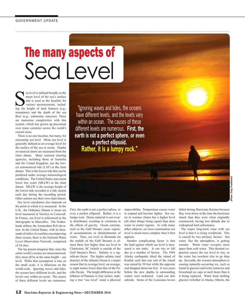
Sea Level ea level is de? ned broadly as the mean level of the sea’s surface and is used as the baseline for
Svarious measurements, includ- ing the height of land features (e.g., “Ignoring waves and tides, the oceans mountains) and the depth of the sea have different levels, and the levels vary ? oor (e.g., submarine canyons). There are numerous complexities with this within an ocean. The causes of these system, which has grown up piecemeal over many centuries across the world’s different levels are numerous. First, the coastal areas.
There is no one baseline, but many, for earth is not a perfect sphere, or even measuring sea level. Mean sea level is a perfect ellipsoid. generally de? ned as an average level for the surface of the sea or ocean. Depths
Rather, it is a lumpy rock.” on nautical charts are measured from the chart datum. Many national charting agencies, including those of Australia and the United Kingdom, use the low- est astronomical tide (LAT) as the chart datum. This is the lowest tide that can be predicted under average meteorological conditions. The United States uses mean lower low water (MLLW) as the chart datum. MLLW is the average height of the lowest tide recorded at a tide station each day during the recording period.
Other nations use their own chart datum.
(Photo: Greg Trauthwein)
Sea level calculation also depends on the point at which it is measured. In the
U.K., the Ordnance Datum is mean sea First, the earth is not a perfect sphere, or impossibility. Temperature causes water failed during Hurricane Katrina because level measured at Newlyn in Cornwall. even a perfect ellipsoid. Rather, it is a to expand and become lighter. Sea wa- they were lower at the time the hurricane
In France, sea level is referenced to the lumpy rock. Dense material is not even- ter in warmer climes has a higher level struck than they were when originally ly distributed, resulting in variations in (all other things being equal) than does constructed, having lost altitude due to
Marégraphe in Marseilles. The Nether- the effects of gravity. Ocean currents, water in cooler regions. As with many widespread land subsistence.
lands utilizes the Amsterdam Peil eleva- such as the Gulf Stream, cause region- other subjects, on close examination sea The major long-term issue with sea tion. In the United States, with its thou- al accumulations or diminishments of level is much more complex than it ? rst level is that it is rising worldwide. This sands of miles of coastline encompassing three oceans, there is the National Water water. Thus, sea level in Bermuda (in appears. is caused by two primary factors. Sea
Level Observation Network, comprised the middle of the Gulf Stream) is al- Another complicating factor is that water, like the atmosphere, is getting most three feet higher than sea level in the land against which sea level is mea- warmer. Warm water occupies more of 54 sites.
The lay person imagines that, since the Charleston, SC (which is outside of the sured is not static. It can rise or fall space than cold water. This thermal ex-
Gulf Stream’s ? ow). Salinity is a sig- due to a number of factors. The 1964 pansion causes the sea level to rise, as entire world’s oceans are interconnected, they must all be at the same height – sea ni? cant factor. The higher salinity (and Alaska earthquake tilted the island of the water has nowhere else to go than level. While that assumption is true on density) of the Atlantic Ocean is a major Kodiak such that one end of the island up. Secondly, the warmer atmosphere is the small scale, it is fallacious on the reason that its average level, on average, was raised by 30 feet while the opposite causing naturally-occurring ice, such as world-scale. Ignoring waves and tides, is eight inches lower than that of the Pa- end dropped about ten feet. It was years found in glaciers and in the Antarctic and the oceans have different levels, and the ci? c Ocean. The height difference at the before the new depths in surrounding Greenland ice caps to melt faster than it levels vary within an ocean. The causes Isthmus of Panama is four inches, mak- waters were recharted. Land can also is being replaced. Water from melting of these different levels are numerous. ing a true “sea level” canal a physical subside. Some of the Louisiana levees glaciers (whether in Alaska, Siberia, the 12 Maritime Reporter & Engineering News • DECEMBER 2016
MR #12 (10-17).indd 12 MR #12 (10-17).indd 12 12/5/2016 2:22:29 PM12/5/2016 2:22:29 PM
