
Page 11: of Maritime Reporter Magazine (June 2018)
Green Marine Technology
Read this page in Pdf, Flash or Html5 edition of June 2018 Maritime Reporter Magazine
 10
10
 12
12
he dug a shortcut across the narrowest construction of the Old River Control inated the need for water to ? ow through and their infrastructure. Millions live portion of Turnbull’s Bend, shortening Structure at Point Breeze. The struc- the Low Sill Control Structure during within the Mississippi River basin south the Mississippi by over 17 miles. The ture’s mission was to maintain the status normal conditions. of Point Breeze. Another million live in meander lost most of its water? ow and quo, keeping the water? ow of the Atch- The problem with the hydroelectric the Atchafalaya River basin. There are became known as the Old River and car- afalaya at 30% that of the Mississippi. facility is that it only removes water billions of dollars of infrastructure in the ried a relatively small amount of water This was accomplished by means of the from the Mississippi. The silt is ? ltered Mississippi River basin and a substantial between the Mississippi and the Red/ Low Sill Control Structure for regulation and largely prevented from entering the amount in the Atchafalaya River basin.
Atchafalaya River. of routine water? ow through operation Atchafalaya. As a result, the ever-pres- In addition, those living and working in
When the Mississippi was high, the of a dam and out? ow channel and the ent silt remains in the Big Muddy and is the Mississippi River basin depend on
Old River ? owed west. When the Mis- Overbank Control Structure for supple- distributed through a smaller volume of the river with its signi? cant water ? ow sissippi was low, the Old River ? owed mental water? ow control when the Mis- water, while a noticeable amount of the to prevent salt water intrusion into the east. The majority of the time, the Mis- sissippi ? oods. A navigation channel clean water has been sent to the Atcha- water table. The U.S. petrochemical and sissippi was higher than the Red/Atcha- and lock were also included, allowing falaya River. The additional clear water grain exporting businesses will be dev- falaya River. tugs and barges to transit between to two leads to increased scouring of the Atcha- astated.
Initially, the total water? ow through river systems. falaya River basin. The U.S. Army Corps of Engineers the Atchafalaya was about 10% of that A major ? ood in 1973 severely tested The now siltier Mississippi has a dif- declines to say when this change in the through the Mississippi, but over time the Control Structure and nearly caused ? cult time keeping all that silt in suspen- water ? ow will occur, but does not argue this varied to as high as 30%. Since the its complete failure. Flood waters sion. Much of it descends to the bottom. with the proposition that it is inevitable. length of the Atchafalaya was noticeably scoured a 55-foot hole under the south As the river bottom comes up, so must The Corps does say that it will continue less than the length of the Mississippi end of the Low Sill Control Structure the water level at the surface. This has to operate the Old River Control Struc- from Point Breese to the Gulf and since and part of it collapsed into the water- the effect of requiring levees along the ture, holding back the Mississippi’s the Mississippi continued to meander, way. river to be raised. It also has the effect of predilection to move west, so long as there was concern that the Mississippi It took the emergency dumping of 250 increasing the pressure on the Old River Congress continues to appropriate the might eventually change course and ? ow thousand tons of rock into the waterway Control Structure. The increased silt de- necessary funds to maintain and upgrade through the Atchafalaya. This would to save the structure. posit is also a reason that dredging of the the structure. There will come a point, have the effect of largely cutting Baton An Auxiliary Structure was added in river in constantly taking place. though, when Plan B must be consid-
Rouge and New Orleans off from the 1986 to reduce pressure on the original Eventually, nature will prevail and the ered.
signi? cant water? ow, devastating their ? oodgates and a hydroelectric facility main river channel at Point Breeze will The Mississippi River and its Old Riv- economies. was added in 1990. The hydroelectric shift from the Lower Mississippi to the er Control Structure are vital parts of our
The U.S. Army Corps of Engineers facility takes advantage of the difference Atchafalaya. This will have major im- national infrastructure. Close attention (USACE) was called upon to resolve the in water levels between the two rivers to mediate and long-term consequences to their situation is of national impor- potential problem. In 1963, it completed generate electricity and has largely elim- for both river basins, their inhabitants, tance.
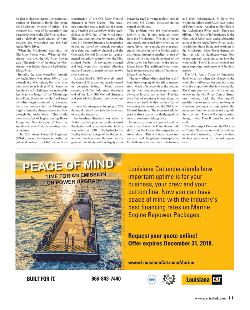
Louisiana Cat understands how
PEACE OF MIND
TIME FOR AN EMISSION important uptime is for your
OR POWER UPGRADE?
business, your crew and your bottom line. Now you can have peace of mind with the industry’s best fnancing rates on Marine
Engine Repower Packages.
Request your quote online!
Offer expires December 31, 2018. www.LouisianaCat.com/Marine
YEARS 866-843-7440 www.marinelink.com 11
MR #6 (10-17).indd 11 MR #6 (10-17).indd 11 6/6/2018 9:25:48 AM6/6/2018 9:25:48 AM
