
Page 26: of Marine Technology Magazine (June 2016)
Hydrographic Survey
Read this page in Pdf, Flash or Html5 edition of June 2016 Marine Technology Magazine
 25
25
 27
27
GPS, Gyro Compasses & MEMS
Integrated Geospatial Hardware &
Software Solutions
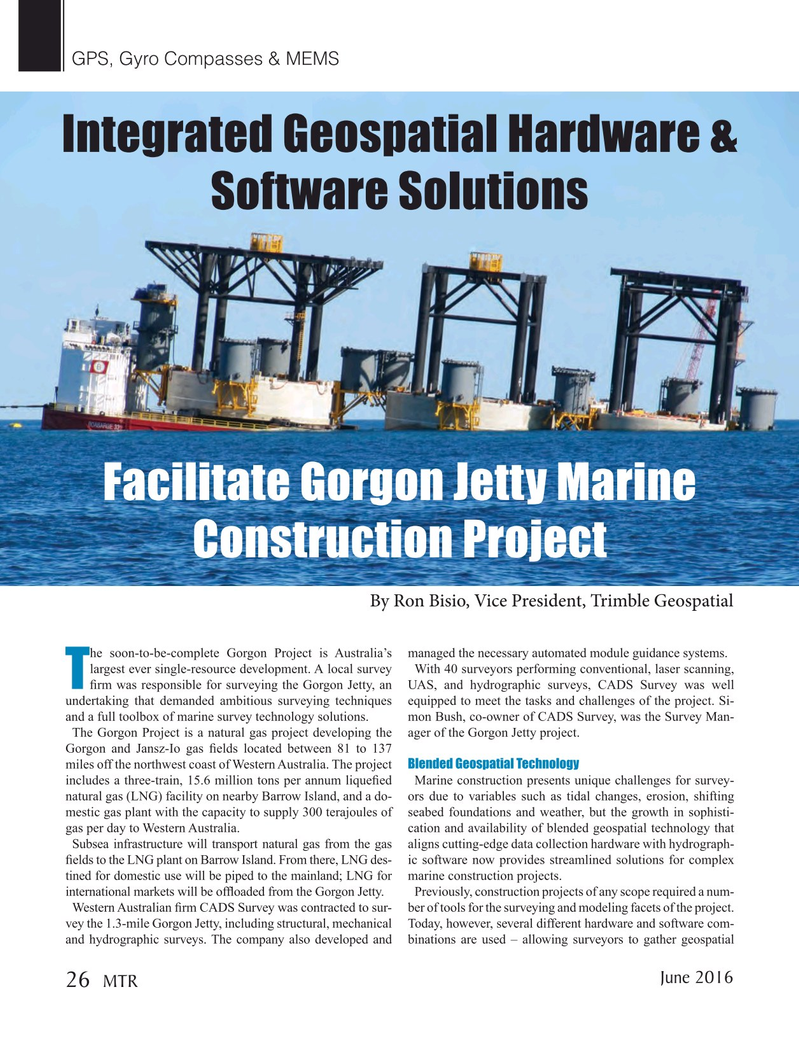
Facilitate Gorgon Jetty Marine
Construction Project
By Ron Bisio, Vice President, Trimble Geospatial he soon-to-be-complete Gorgon Project is Australia’s managed the necessary automated module guidance systems.
largest ever single-resource development. A local survey With 40 surveyors performing conventional, laser scanning,
T? rm was responsible for surveying the Gorgon Jetty, an UAS, and hydrographic surveys, CADS Survey was well undertaking that demanded ambitious surveying techniques equipped to meet the tasks and challenges of the project. Si- and a full toolbox of marine survey technology solutions. mon Bush, co-owner of CADS Survey, was the Survey Man-
The Gorgon Project is a natural gas project developing the ager of the Gorgon Jetty project.
Gorgon and Jansz-Io gas ? elds located between 81 to 137 miles off the northwest coast of Western Australia. The project Blended Geospatial Technology includes a three-train, 15.6 million tons per annum lique? ed Marine construction presents unique challenges for survey- natural gas (LNG) facility on nearby Barrow Island, and a do- ors due to variables such as tidal changes, erosion, shifting mestic gas plant with the capacity to supply 300 terajoules of seabed foundations and weather, but the growth in sophisti- gas per day to Western Australia. cation and availability of blended geospatial technology that
Subsea infrastructure will transport natural gas from the gas aligns cutting-edge data collection hardware with hydrograph- ? elds to the LNG plant on Barrow Island. From there, LNG des- ic software now provides streamlined solutions for complex tined for domestic use will be piped to the mainland; LNG for marine construction projects.
international markets will be of? oaded from the Gorgon Jetty. Previously, construction projects of any scope required a num-
Western Australian ? rm CADS Survey was contracted to sur- ber of tools for the surveying and modeling facets of the project. vey the 1.3-mile Gorgon Jetty, including structural, mechanical Today, however, several different hardware and software com- and hydrographic surveys. The company also developed and binations are used – allowing surveyors to gather geospatial
June 2016
MTR 26
MTR #5 (18-33).indd 26 6/1/2016 5:20:15 PM