
Page 35: of Marine Technology Magazine (June 2019)
Hydrographic Survey: Single & Multibeam Sonar
Read this page in Pdf, Flash or Html5 edition of June 2019 Marine Technology Magazine
 34
34
 36
36
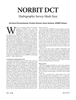
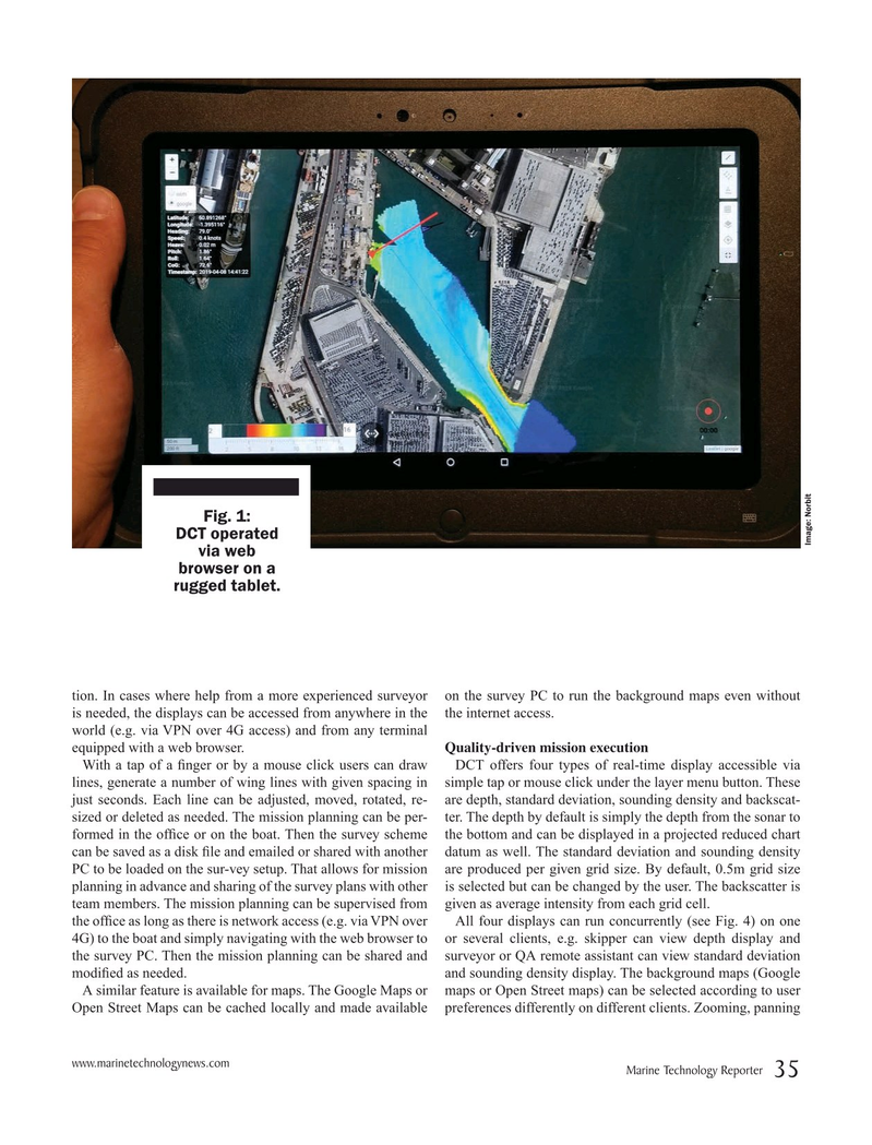
Fig. 1:
DCT operated
Image: Norbit via web browser on a rugged tablet.
tion. In cases where help from a more experienced surveyor on the survey PC to run the background maps even without is needed, the displays can be accessed from anywhere in the the internet access. world (e.g. via VPN over 4G access) and from any terminal equipped with a web browser. Quality-driven mission execution
With a tap of a ? nger or by a mouse click users can draw DCT offers four types of real-time display accessible via lines, generate a number of wing lines with given spacing in simple tap or mouse click under the layer menu button. These just seconds. Each line can be adjusted, moved, rotated, re- are depth, standard deviation, sounding density and backscat- sized or deleted as needed. The mission planning can be per- ter. The depth by default is simply the depth from the sonar to formed in the of? ce or on the boat. Then the survey scheme the bottom and can be displayed in a projected reduced chart can be saved as a disk ? le and emailed or shared with another datum as well. The standard deviation and sounding density
PC to be loaded on the sur-vey setup. That allows for mission are produced per given grid size. By default, 0.5m grid size planning in advance and sharing of the survey plans with other is selected but can be changed by the user. The backscatter is team members. The mission planning can be supervised from given as average intensity from each grid cell. the of? ce as long as there is network access (e.g. via VPN over All four displays can run concurrently (see Fig. 4) on one 4G) to the boat and simply navigating with the web browser to or several clients, e.g. skipper can view depth display and the survey PC. Then the mission planning can be shared and surveyor or QA remote assistant can view standard deviation modi? ed as needed. and sounding density display. The background maps (Google
A similar feature is available for maps. The Google Maps or maps or Open Street maps) can be selected according to user
Open Street Maps can be cached locally and made available preferences differently on different clients. Zooming, panning www.marinetechnologynews.com
Marine Technology Reporter 35
MTR #5 (34-49).indd 35 5/24/2019 10:46:29 AM