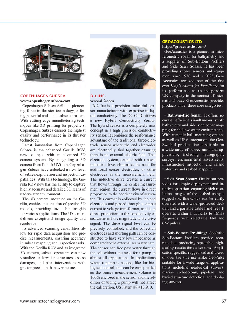
Page 67: of Marine Technology Magazine (September 2023)
Read this page in Pdf, Flash or Html5 edition of September 2023 Marine Technology Magazine
GEOACOUSTICS LTD https://geoacoustics.com/
GeoAcoustics is a pioneer in inter- ferometric sonar for bathymetry and a supplier of Sub-Bottom Pro? lers and Side Scan Sonars. It has been providing subsea sensors and equip- ment since 1978, and in 2023, Geo-
Acoustics received one of the ? rst ever King’s Award for Excellence for its performance as an independent
COPENHAGEN SUBSEA D-2 INC. UK company in the context of inter- www.copenhagensubsea.com www.d-2.com national trade. GeoAcoustics provides
Copenhagen Subsea A/S is a pioneer- D-2 Inc is a precision industrial sen- products under three core categories: ing force in thruster technology, offer- sor manufacturer with expertise in liq- ing powerful and silent subsea thrusters. uid conductivity. The D2 CTD utilizes • Bathymetric Sonar: It offers ac-
With cutting-edge manufacturing tech- a new Hybrid Conductivity Sensor. curate, ef? cient simultaneous swath niques like 3D printing for propellers, The hybrid sensor is a completely new bathymetry and side scan sonar map-
Copenhagen Subsea ensures the highest concept in a high precision conductiv- ping for shallow water environments. quality and performance in its thruster ity sensor. It combines the performance With versatile hull mounting options technology. advantage of the traditional three-elec- as well as USV integration, the Geo-
Latest innovation from Copenhagen trode sensor where the end electrodes Swath 4 product line is suitable for
Subsea is the enhanced Gorilla ROV, are electrically tied together ensuring a wide array of survey tasks and ap- now equipped with an advanced 3D there is no external electric ? eld. That plications, including hydrographic camera system. By integrating a 3D electrode system, coupled with a novel surveys, environmental assessments, camera from Danish UVision, Copenha- inductive drive, eliminates the need for infrastructure inspection and inland gen Subsea have unlocked a new level additional center electrodes, or other waterway and seabed mapping.
of subsea exploration and inspection ca- electrodes in the measurement ? eld. pabilities. With this technology, the Go- The inductive drive creates a current • Side Scan Sonar: The Pulsar pro- rilla ROV now has the ability to capture that ? ows through the center measure- vides for simple deployment and in- highly accurate and detailed 3D scans of ment region; the current ? ows in direct tuitive operation, capturing high reso- underwater environments. proportion to the conductivity of seawa- lution images of the seabed using a
The 3D camera, mounted on the Go- ter. This current is collected by the end rugged tow ? sh which can be easily rilla, enables the creation of precise 3D electrodes and passed through a simple operated with a water-protected deck models, providing invaluable insights current to voltage transformer, as it is in unit and a portable cable hand reel. It for various applications. The 3D camera direct proportion to the conductivity of operates within a 550KHz to 1MHz delivers exceptional image quality and sea water and the magnitude to the drive frequency with selectable FM and resolution. signal. The drive signal level can be CW pulses.
Its advanced scanning capabilities al- precisely controlled, and the collection low for rapid data acquisition and pre- electrodes and shorting path can be con- • Sub-Bottom Pro? ling: GeoPulse cise measurements, ensuring accuracy structed to have very low impedance as Sub-Bottom Pro? lers provide accu- in subsea mapping and inspection tasks. compared to the external sea water path. rate data, producing repeatable, high-
With the Gorilla ROV and its integrated The sensor can free pass water through quality results time after time. Appli- 3D camera, subsea operators can now the cell without the need for a pump in cation speci? c, ruggedized and towed visualize underwater structures, assess almost all applications. In applications or over the side use make GeoPulse damages, and plan interventions with where a pump is needed, like for bio- suitable for a wide range of applica- greater precision than ever before. logical control, this can be easily added tions including geological surveys, as the sensor measurement volume is marine archaeology, pipeline, and 100% enclosed in the sensor and the ad- buried structure detection, and dredg- dition of tubing a pump will not affect ing surveys.
the calibration. US Patent #9,410,910.
www.marinetechnologynews.com 67
MTR #7 (66-79).indd 67 10/3/2023 8:24:55 AM

 66
66

 68
68
