Alaska Pipeline Background Information -Tankers Required To Cost $1.6 Billion
Alyeska Pipeline Service Company— The agent company formed to design, ibuild, operate and maintain the Trans-Alaska Pipeline for the seven owners: Amerada Hess Corporation; ARCO Pipe Line Company; Exxon Pipe Line Company; Mobil Pipe Line Company; Phillips 'Petroleum Company; Sohio Pipe Line Company, and Union Oil Company of California.
The Trans-Alaska Pipeline—The pipeline to carry oil from Prudhoe Bay on the Arctic Coast to Valdez on Alaska's southcentral coast, where it will be transferred to tankers.
Alaska—Alaska is the largest of the 50 states, occupying 586,412 square miles. The next three largest states—Texas, California and Montana — put together do not equal it. The total pipeline will occupy only 12 square miles, or .002 of one percent of Alaska's squaremile area, with a temporary construction impact of an additional 50 to 60 square miles.
Prudhoe Bay—An inlet in the Arctic Ocean shoreline 165 miles east of Point Barrow and about one-fourth of the distance from the Canadian border to the west coast of Alaska. A major oil discovery was made at Prudhoe Bay in 1968.
Valdez—An ice-free port on the southern coast of Alaska, where the southern pipeline terminal and loading facilities will be located. Valdez harbor opens on Prince William Sound, which opens into the Gulf of Alaska. Valdez harbor is 12 miles long and 2]/2 miles wide and well protected from the open ocean.
Wave heights and tidal currents are low. Fog does not persist for long periods. The channel depth is more than 100 fathoms, and its minimum width is 3,000 feet.
North Slope—Alaska -is bordered on the north by the Arctic Ocean.
The North Slope is that portion of Alaska's Arctic Plain sloping north from the Brooks Range to the ocean.
Prudhoe oil reserves—The American Petroleum Institute has conservatively estimated "proved recoverable oil reserves" at 9.6 billion barrels. "Proved reserves" are conservative estimates of oil available for recovery. They are not estimates of oil actually present in the formation nor of the amount that may ultimately be recovered, which have ranged to 40 billion barrels and more.
Pipeline capacity from the main field of Prudhoe Bay—Two million barrels-a-day. At startup, 1.2 million barrels-a-day. The most efficient rate is estimated at 1.5 million barrels- a-day. Present U.S. usage is about 17 million barrels-a-day, of which six million are imported.
Tankers—Full pipeline capacity will require 3'5, ranging from 45,000 deadweight tons to 150,000 deadweight tons. Destinations will be Puget Sound, San Francisco Bay and Los Angeles. An estimated 2Yi tankers a day will be loaded at Valdez.
The tankers will be U.S.-flag vessels, manned by U.S. crews and replacing most foreign-flag tankers currently delivering foreign oil to West Coast ports. The estimated cost of the 35-ship fleet is $1.6 billion.
Construction time, cost—It will take three years and cost $4 billionplus to build the line, pumping stations and terminal facilities. Owner companies have invested more than $400 million in Alyeska already, and spent an additional $1.25 billion in leasing, exploration and development costs on the North Slope of Alaska.
Jobs created — Direct employment on the pipeline is expected to be about 8,600, with 2,300 more at the Prudhoe Bay fields. Secondary employment will mean a total of 25,000 to 30,000 jobs in the two peak years. In addition, the Maritime Administration has estimated that tanker construction would generate 73,480 man-years of labor in shipyards and supporting industries.
Fleet maintenance would generate 770 man-years of employment annually, with 3,000 man-years of crew and support services for the fleet. After the line is fully operative, Prudhoe Bay operations ^nd the pipeline will employ about 1,500.
Pipe—The pipe is made of highstress steel and measures 48 inches in diameter and a half- Heat—'Oil will enter the line at 175 degrees ( F ) . Friction will keep it at about 145 degrees. A cold line was considered, but present refrigeration methods are inadequate. If they were, cooling would present a wax formation problem and the danger that, if oil flow stopped, the oil would solidify, making it impossible to restart. Pipeline route—The pipeline will originate in Prudhoe Bay, cross the Arctic Plain, and climb the Brooks Range to 4,800 feet. It will then cross the Yukon Tanana Uplands, pass 10 miles east of Fairbanks, and go over the Alaska Range at 3,500 feet. After descending into the Copper River Basin, it will pass over the Chugach Mountains at 2,500 feet and descend to near sea level at Valdez. The total distance is 789 miles. Permafrost—Ground that has been subjected to freezing temperatures for at least two years. It may be "dry," as bedrock or gravel, or "wet," containing frozen water. The pipeline route crosses 525 miles of permafrost. Because the heat of the pipe could thaw ice-rich permafrost, the line will be elevated and insulated in such areas to prevent heat loss. More than half of the line, however, will be buried. Where buried, the line will be, if necessary, insulated or refrigerated. Environment—Tests of pipe at 160 degrees indicate that vegetation will not be affected. Tundra, the delicate mosses, lichens and other plants that cover and shield perma-. frost, will be protected, replaced or substituted for until it returns. Construction will be scheduled around nesting, calving or spawning periods. Elevated sections of line will have ramps or underpasses for migrating animals. Research costing tens of millions of dollars has developed a wealth of new knowledge on Arctic conditions and wildlife. Earthquakes—There are five major fault systems in the general vicinity of 'the pipeline route. Only three have experienced movement in recent geologic time. Only one is known to intersect the line. The pipeline design will permit the line to move 20 feet horizontally and three feet vertically without rupturing. Pipe has been tested at stresses far in excess of Alaska's worst quake. Line protection—Two computers (one for backup) will monitor the line, as will 24-hour crews at pumping stations and the terminal. In earthquakes of severe magnitude, the pipeline is designed to remain in operation. In rare (once in several hundred years) contingency earthquakes of extreme magnitude, the computer system will instantly shut down the pipeline even though it is designed to remain tight with no leakage. In such quakes, the chances are three in one million that the line would develop a crack, and two in 10,000~that it would require any maintenance. In any case, the line will be constantly monitored for leaks, internally by a device traveling through the pipe and externally by air and ground surveillance and maintenance crews. Port protection—At Valdez, storage tanks will be on 'bedrock that withstood the 1964 quake, and that is above the range of any quakecaused wave action. Tanks will be surrounded by diking. Docks are designed to withstand a 12-foot wave with a vessel alongside, and a 20-foot wave without a vessel. Loading will use steel mechanical arms rather than hoses. Tankers will have on-board controls to prevent overfilling tanks in loading or discharge. 'New oil cleanup equipment and methods will be on standby. 'Both water and foam fire-ifighting equipment will be on hand. Ships will have separate ballast tanks and ballast water will be treated to remove any oil traces. Ships will have modern navigational devices and be governed by a system similar to airport traffic control.
Read Alaska Pipeline Background Information -Tankers Required To Cost $1.6 Billion in Pdf, Flash or Html5 edition of March 1974 Maritime Reporter
Other stories from March 1974 issue
Content
- Shallow-Draft Bulk Carrier Study Award To M. Rosenblatt page: 4
- Naval Hydrodynamics Symposium To Be Held At M.I.T. June 24-28 page: 4
- Dravo Corporation Launches Most Powerful Towboat For Use On World's Inland Waterways page: 6
- U.S. Lines Names Pert Manager-Operations For Eastern Division page: 8
- $40-Million Contract To Nashville Bridge For Towboats, Barges page: 10
- Nathan Friedland loins Santa Fe Engineering page: 10
- Todd Appoints Stuart Jones To Head New Tanker Planning page: 11
- Todd Shipyards Los Angeles Division To Build Four 89,700-Dwt Tankers At A Total Cost Of $136 Million page: 11
- Officers Named By Johnston Pump Company page: 11
- AML And APL Announce Changes Of Key Personnel page: 12
- Ingram Signs 10-Year $150-Million Contract To Transport Fuel Oil page: 13
- Three Appointments To Towing Industry Advisory Committee page: 13
- Alaska Pipeline Background Information -Tankers Required To Cost $1.6 Billion page: 14
- Minneapolis Investors Acquire Grafton Boat page: 14
- First Phase Of New Keppel Subsidiary, Tuas Shipyard, To Cost $70 Million —A Number Of Key Appointments Made page: 17
- Long-Term Charters Planned By Sohio page: 17
- Finnish Passenger Ship To Be Powered By Turbo Power & Marine Systems Gas Turbines page: 17
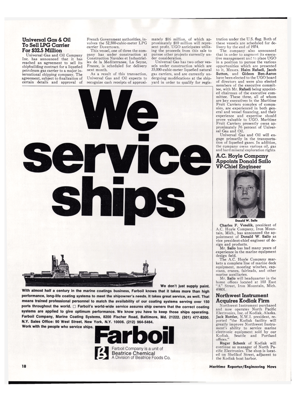
- Universal Gas & Oil To Sell LPG Carrier For $32.5 Million page: 18
- Harold Reinauer Named Vice President AWO Region Five page: 22
- Adm. Healey, USN (Ret.) Joins EDO Corporation page: 23
- Study Indicates U.S. Waterborne Trade To Triple By Year 2000 page: 26
- Lufkin Announces Three Appointments page: 27
- New Pacific Coast Shipping Association Invites Membership page: 28
- COMSAT General Corp. Names David W. King page: 28
- Moore And McCormack Changes Firm Name— Earnings Increased page: 32
- American Export Lines Agrees To Sell Two Passenger Vessels page: 33
- Stork-Werkspoor Receive Orders For 32 Engines page: 33
- ASME Marine Committee To Present Thirteen Papers At Zurich Gas Turbine Conference page: 34
- Dearborn-Storm To Concentrate On Offshore Drilling Industry —Computer Leasing To Be Sold page: 35
- B&W To Supply Six Marine Boilers For Three Merchant Ships page: 36
- C.J. Hendry Co. Appoints John Iamarino page: 36
- Waterways Attract 87 Plant Facilities In Last Quarter 73 page: 37
- Liffey Marine Operating New Supply Vessel Designed To Carry A Wide Variety Of Cargo page: 38
- AAPA Committee Names John Finnegan page: 39
- Soviet Trading Firm Takes Space In N.Y/s World Trade Center page: 39
- A.L. Burbank Forms Shipcentral, Limited —Tsao Named To Board page: 40
- Colt Industries To Build Fairbanks Morse Diesels To Power ODECO's Ocean Ranger page: 42
- Insley Yard Delivers Tug To Great Lakes Dredge & Dock page: 42
- British Ocean Group Forms New Shipbroking Company page: 43
- Kings Point Alumni Opposes Committee Dismemberment page: 43
- Engelhard To Provide Cathodic Protection For 16 Navy Destroyers page: 44
- Northen Of ACT/PACE Elected CI President page: 44
- Campbell Launches 18th In Series Of Tuna Superseiners page: 45
- Rule Changes By Lloyd's Register page: 49
- Carrington Slipways Builds Fleet Of Eight Supply Vessels For Australian Offshore page: 50
- 60% Of Spanish-Built Ships Built By Astilleros Espanoles —Spain Now In Fourth Place page: 50
