Mctgnavox Introduces Civil Global Positioning System
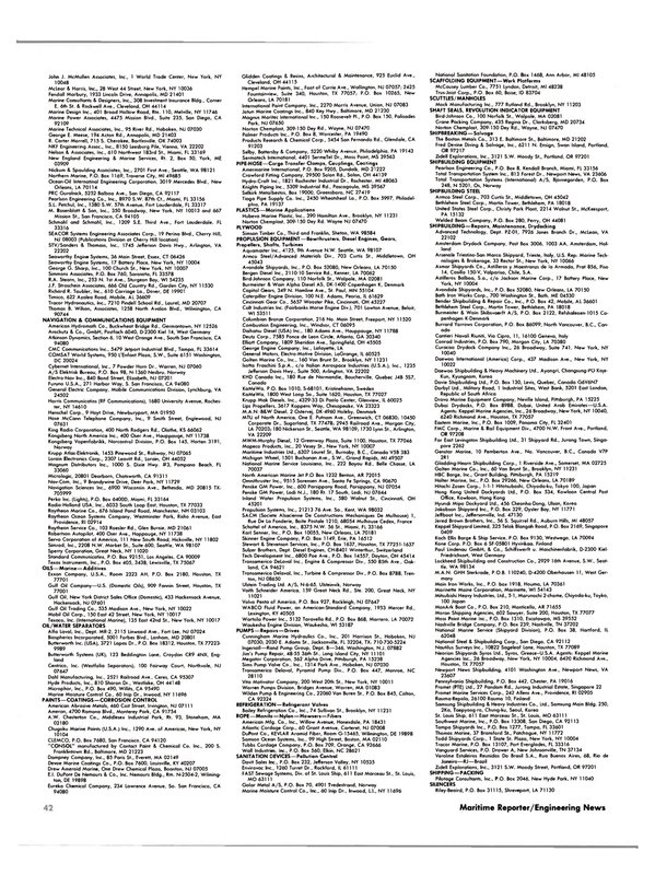
—Literature Available Magnavox Advanced Products and Systems Company of Torrence, Calif., recently announced the availability of a civil Global Positioning System (GPS) navigator (shown below).
Designated the T-Set, it is a C/A code receiver with system accuracy equal or superior to the Magnavox Z-Set developed under the Phase I Military GPS Program, which demonstrated 30-35 meter dynamic accuracy during field tests.
Actual accuracy obtainable depends upon the quality of orbit parameters and clock corrections transmitted to the satellites.
The T-Set consists of the following components: electronics unit, consisting of VT-103 terminal, PDP-11/23 computer, Magnavox GPS receiver card, and Magnavox positioning and navigation software; antenna assembly; and coaxial cable (100 meters).
Five independent receiver channels are provided in the T-Set to permit continuous tracking of the four currently best satellite signals while the fifth channel gathers ephemeris data from all other potentially useful satellites. This al lows the T-Set both to switch satellites without delay and to respond quickly to vehicle dynamics, thus insuring optimum accuracy at all times.
Differential GPS navigation is a planned option. One T-Set at a fixed site will monitor the available satellite signals and compute range and Doppler corrections. Navigating T-Sets will receive and apply the corrections before computing each navigation solution. Differential accuracy is expected to be five meters or better, taking full advantage of the five-channel receiver design.
Extended naviation coverage is available when altitude is known, e.g., for marine use, by means of the automatic geoidal height correction that permits navigation with only althree satellite signals. With a rubidium or cesium frequency standard, navigation can continue when only two satellites are available.
Data displayed on the T-Set include time, position, speed, course, satellite number, azimuth, elevation, signal-to-noise, range residuals, solution variance, and dilution of precision. Satellite alerts and status data also are displayed. These data plus the almanac, ephemeris, and all pseudorange and Doppler measurements are available via the RE-232 data port. A lower rate of navigation results may be recorded by the internal cartridge tape drive.
The T-Set is intended for sale or lease to customers who are interested in obtaining experience with GPS. The system is designed for operation in a controlled environment.
Environmental, physical, and electrical characteristics of the T-Set are defined by the VT-103 Terminal specification.
The GPS satellites currently in operation are experimental in nature, and the U.S. Government has the right to modify or terminate the operation of these satellites at any time. The sale or lease of the T-Set to customers outside the United States is subject to U.S. Government regulations.
For more information and complete literature on the T-Set, Circle 10 on Reader Service Card
Read Mctgnavox Introduces Civil Global Positioning System in Pdf, Flash or Html5 edition of November 15, 1984 Maritime Reporter
Other stories from November 15, 1984 issue
Content
- USS Iowa (BB-61) page: 4
- Western Gear Relocates Corporate Headquarters To South Milwaukee page: 5
- McLean Urges American Shipping Community To Remain Competitive page: 6
- C. Plath And Racal Marine Controls Sign Cooperation Agreement page: 7
- Sandusky Offers Brochure On Centrifugal Castings page: 7
- Braden Winch Marketing New Planetary Hoist page: 8
- Killian Named VP Of H.O. Penn Power Div. page: 8
- Watterworth Appointed Vice President-Operations For General Steamship page: 8
- B&W And Flight Safety Form New Joint Venture Training Company page: 10
- Hoch Promoted At Comsat TeleSystems page: 10
- WABCO Forms Worldwide Parts And Service Network page: 10
- Rothermel Named Sales Vice President For Comsat TeleSystems page: 11
- Bay Shipbuilding Awarded $l 80-Million Contract To Build Three Containerships For Sea-Land page: 11
- U.S. NAVY SHIP OVERHAUL MARKET First Update — Changes As Of October 1984 page: 12
- Sperry Introduces New 340-mm Radar, New Autopilot, And 'Marinized' PC page: 30
- Twin Matson Container Barges Christened At McDermott Shipyard page: 32
- Renk Offers Reference List Of Marine Gear Units Used In Naval Vessels page: 32
- Renk Offers Literature On RCF Generator Gears page: 33
- Alexander Industries Named Agent For Clow/Greenberg page: 33
- Kidde Offers Free Brochure On Total Fire Protection page: 33
- Mctgnavox Introduces Civil Global Positioning System page: 36
- IMODCO Awarded Contract By Esso Suez For Mooring Terminal Offshore Egypt page: 36
- Eastern Marine Signs Contract For Passenger/Auto Ferry page: 37
- New Krupp Atlas ARPA Gets British DoT Type Approval page: 43
- Dyvi Heavy Lift Vessel Busy Transporting Semisubmersibles page: 47
- RFD Survival Liferaft Line Gains Davit-Launch Approval page: 47
