
Royal Caribbean Stays Current with C-MAP CM-93/3 ECs
The C-MAP CM-93/3 global electronic chart database helps Royal Caribbean Intl. vessel operators to ensure smooth, safe sailing whether cruising the icy waters of Alaska, or the warm currents of the Southern Caribbean tropics or through the Panama Canal.
Arnolf Remo, captain of the Adventure of the Seas, said "Since early 2003 we have been using the C-MAP system on the Adventure of the Seas.
This chart system has added a whole new interactive dimension to modern navigation, and therefore safer cruising.
We are able to look ahead and have an indication of any underwater or overhead concerns to the vessel, as we enter our allowable safety depths and heights.
Each chart area can also be customized by us to suit our needs in each different situation and location. The easy-to-use C-MAP charts help my Navigation Officers plan, execute and monitor our voyage plans in a safe and efficient manner to a level never seen before." "With our Sperry Voyage Management System and the C-MAP worldwide CM- 93 database all on one CD, each of our vessels has the perfect navigational instruments to provide our customers with the smooth sailing experience they expect," said Bob Granley, superintendent of Royal Caribbean International.
C-MAP's advanced RTU format is available free to all subscribers of CMAP's CM-93/3 commercial chart database.
This format enables the navigator to download NTM corrections directly into the ECDIS/ECS (Electronic Chart Display and Information System/Electronic Charting System) quickly and securely from any location around the globe.
Circle 3 on Reader Service Card
Read Royal Caribbean Stays Current with C-MAP CM-93/3 ECs in Pdf, Flash or Html5 edition of May 2004 Maritime Reporter
Other stories from May 2004 issue
Content
- Fincantieri Delivers Westerdam page: 10
- "World's Largest" Heavy Lift Ship Enters Service page: 10
- Damen Delivers Pair of Tugs page: 10
- Not Just Another Dam Ship page: 12
- Welsh Towing Company Growth Continues page: 14
- Gladding-Hearn Starts Construction of New I neat Vessel page: 15
- Despite 11% Increase, Hempel Disappoints page: 15
- Grimaldi-Naples Receives GM Award page: 16
- Schlueter Promoted to VP page: 17
- Misplacing the Place of Refuge page: 20
- Schottel Broadens Electric Propulsion Options page: 26
- CIMAC Congress Set for Kyoto page: 29
- Waterjets for a Difficult Design Task page: 30
- New Shaft Seal from Ocean Venture Seals page: 31
- Gas Turbines: Keeping Fresh With Innovation page: 32
- MAN B&W Diesel Debuts the New S65ME-C page: 33
- Thordon COMPAC Finds Success in FSV page: 33
- Wartsila to Power Australian FPSO page: 34
- VSP: Same Power, 9% More Bollard Pull page: 35
- The New MTU 2000 CR Marine Engines page: 36
- Converting and Repowering One Very Big Ship page: 38
- Power for a New Breed of RoPax page: 40
- ZF Helps to Harness Spirit of Ontario's Power page: 41
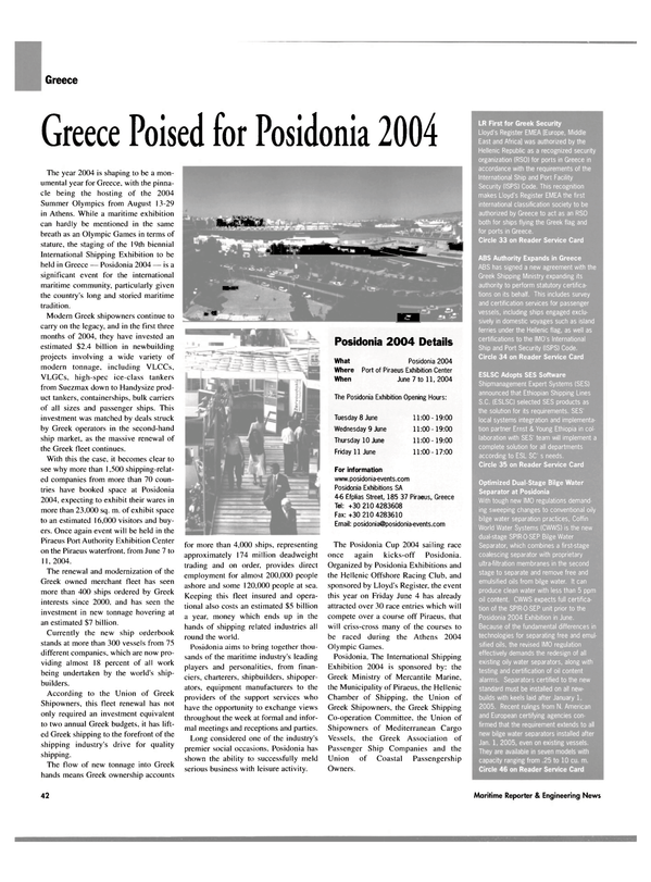
- Greece Poised for Posidonia 2004 page: 42
- Leif Hoegh Records Strong First Quarter page: 43
- BV Launches LNG CAP page: 43
- Steel, Ship Prices Soar as Tankers Stay Firm page: 44
- Ice Class & Large Ships Pose New Challenges page: 44
- Royal Caribbean Stays Current with C-MAP CM-93/3 ECs page: 46
- JRC Proposes Integrated Nautical Safety System page: 46
- C-Map's RTU and the Ending of the Paper Trail page: 47
- AutoChief C20 Reports Good Market Penetration page: 48
- Vision FT IBS page: 48
- Research Winches for R/V Maria S. Merian page: 52
- Konecranes Giving Port Efficiency a Lift page: 52
- Chinese Yard Logs Strong Month page: 55
- Fuel Oil Separation Takes Center Stage page: 56
- Security of Ports and Vessels: A New Approach page: 60
